Summer update on the Breathe Clean Project!
On 24th July 2018 Ruben Douglas posted in Events, News, Projects, Uncategorised

Mapping for Change is working with the Tower Hamlets community to undertake an Air Quality Mapping project, commissioned by The London Borough of Tower Hamlets. Continue reading…
ECSA Conference 2018 – Citizen Science in Europe
On 25th June 2018 Hannah posted in Events, Projects, Uncategorised
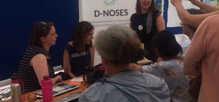
The second European conference for citizen and participatory science, organised by the European Citizen Science Association – ECSA was held in Geneva this June. The three day event brought together some of the leading voices and minds in citizen science from across the globe to share ideas and learn from each other’s work. This international celebration of citizen science kicked off on Sunday 2nd with a Citizen Science Festival and Bioblitz for scientists and the public alike to get involved and explore the different projects that are going on throughout Europe and beyond. Continue reading…
Mapping For Change Pilot Projects In Malta
On 19th December 2017 Louise posted in Events, Featured, Projects
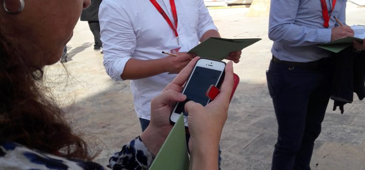
The Mapping for Change engagement process has been piloted in Malta through a series of Participatory GIS initiatives held from December 2016 to November 2017. The participatory mapping projects were carried out as part of a doctoral thesis by Wendy Jo Mifsud and formed part of a research project led by StudjUrban within the wider Design 4D City research programme of the Valletta 2018 Foundation.
Stakeholder Workshop for Collaborative Community Engagement Platform.
On 14th December 2017 Louise posted in Events, Featured, News
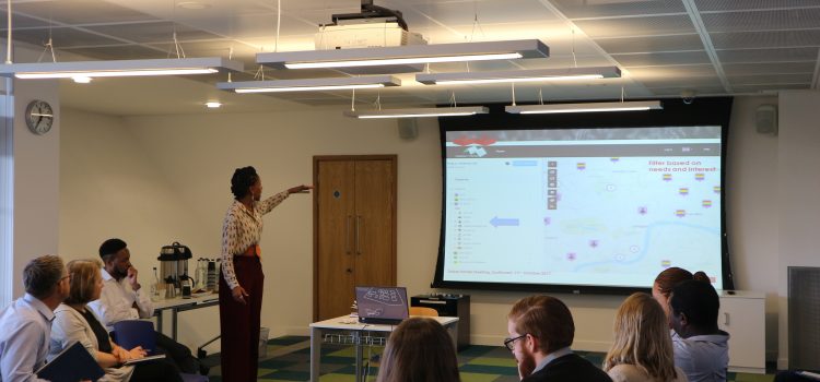
Understanding the needs and aspirations of different actors in the collaborative delivery of public sector services were among the goals of a stakeholder workshop held in October at the Canada Water Library. Key representatives from the London Borough of Southwark, voluntary sector organisations, and partners of the WeGovNow project engaged in an interactive and lively discussion.
Love Lambeth Air Feedback Event
On 22nd June 2017 Agnes posted in Events, News, Projects
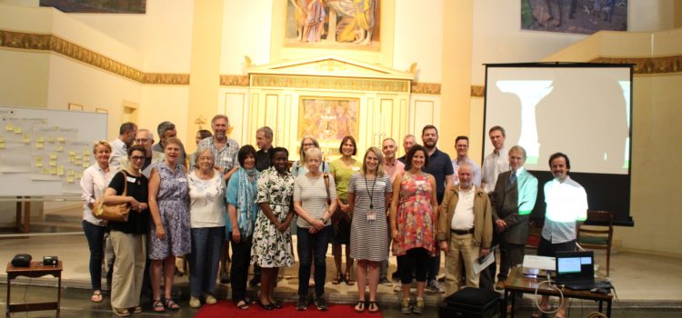
On Wednesday 14th June, over 45 local residents and stakeholders gathered in St John’s Church in Waterloo to discuss the results of a community-led air quality monitoring programme in Lambeth.
Love Lambeth Air Final Event
On 18th May 2017 Agnes posted in Events, Featured, News
We have now come to an end of the six month monitoring period of our Love Lambeth Air project.
Mapping for Change, for Lambeth Council, has been providing diffusion tubes to Lambeth residents and businesses to measure nitrogen dioxide outside their home or office over the course of six months from October 2016.
Overall we had 30 participants monitoring 34 sites across the borough of Lambeth from Waterloo to West Norwood. The wide spread of monitoring was only made possible with thanks to the volunteer surveyors who every month changed the diffusion tube outside their home or office and returned the old tube for it to be processed in the lab for analysis. The results from the six months of monitoring will be made available on the Community Air Quality Map.
Mapping Accessibility in Thessaloniki for World Tourism Day
On 6th October 2016 Louise posted in Events, News, Uncategorised

On a lovely autumn day in the sunny city of Thessaloniki Mapping for Change joined forces with other Cap4Access team members to explore accessibility across the city. The mapping party formed part of a series of similar MapMyDay events being run across the globe, which started on September 27 , World Tourism Day. This year the United Nations (UN) World Tourism Organization chose the theme “Tourism for All. UN Secretary-General Ban Ki-moon declared: “On this World Tourism Day, let us recognize that all people can and should be able to participate in tourism and enjoy unforgettable travel experiences.”
South Bank University Maps for Access!
On 1st December 2015 Hannah posted in Events, Featured, News
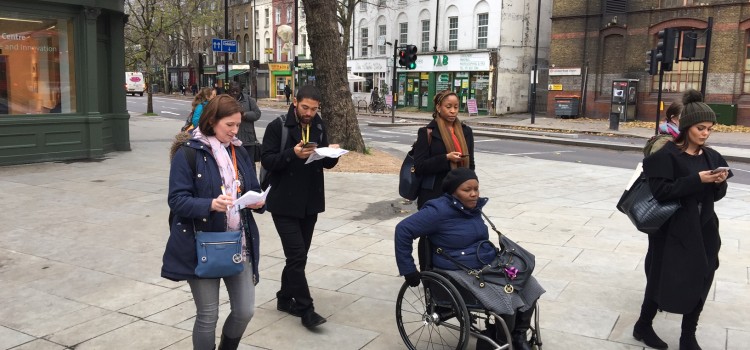
It’s that time of year when courageous mappers embrace the cold and head out to celebrate the International Day of Persons with Disability! Yesterday, Mapping for Change joined forces with Health and Social Care students from London South Bank University for a voyage of accessibility discovery around Waterloo.
Access the National Trails: 23,000 metres mapped!
On 13th November 2015 Hannah posted in Events, Featured, News
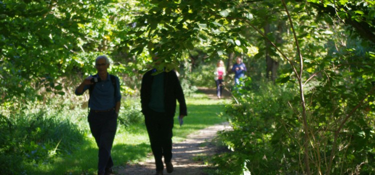
Our Access the National Trails initiative has seen happy mappers across the country collect more than 4400 photographs, covering a staggering 23,000 metres of footpath! With more images uploaded every week, we hope to hit 25,000 metres by the end of the year.
Access the National Trails: Thixendale
On 2nd October 2015 Hannah posted in Events, Featured, News
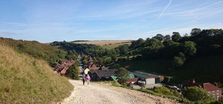
On Tuesday morning, the Mapping for Change team dusted off their walking boots and hopped on a train to Yorkshire for the 2nd of our Access the National Trails mapping workshops.