UCL: Access Denied
On 22nd May 2015 Julius posted in News
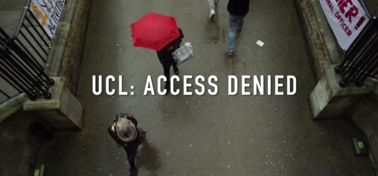
Last night, months of anticipation came to an end, and Mapping for Change navigated their way to the alien territory of Roberts’ Engineering building for a very exciting launch party. The cause? UCL: Access Denied – a ground-breaking documentary produced by UCLU Disabled Students to highlight accessibility problems around Campus.
Sun, Sea and Southend’s Main Roads
On 26th March 2015 Hannah posted in Featured, News
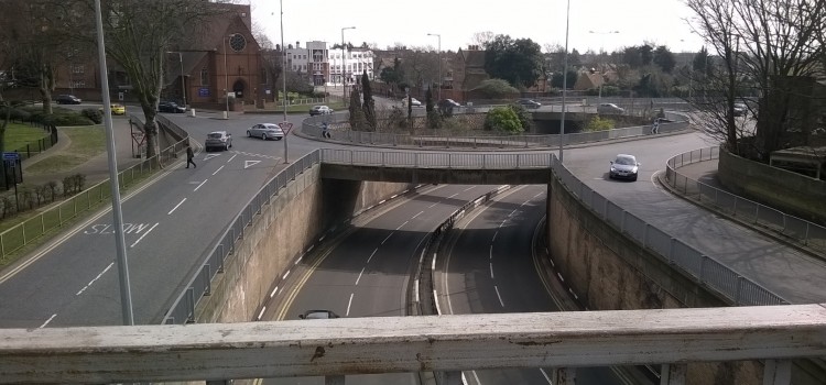
The boom in British road construction during the early twentieth century envisaged a better-connected future. However, busy roads can also confine and restrict us. On Monday, Mapping for Change met our Street Mobility project partners at Liverpool Street. We jumped on a train to Southend Victoria to continue our work on main roads; specifically, the negative physical and psychological impact of major arterial roads on older people.
Return of the Tubes: Communities Await Air Quality Results
On 18th March 2015 Hannah posted in Featured, News
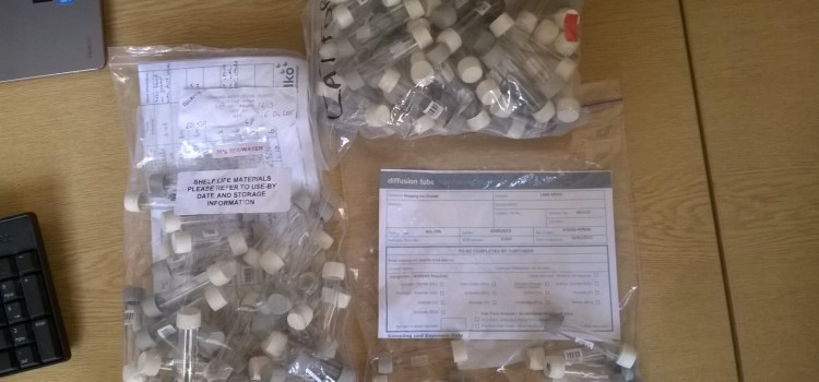
In February, Mapping for Change equipped four community groups with all the materials needed to measure Nitrogen Dioxide (NO2) in their local areas. One month and four Citizen Science initiatives later, and the data from Clean Air in London’s air quality monitoring projects has been returned for analysis.
Housing, Regeneration and Community Consultation: Map Based Solutions
On 16th March 2015 Hannah posted in News
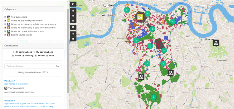
This information sheet has been developed to highlight the way in which local councils can utilise a map-based ICT service to deliver positive outcomes for its customers in relation to housing and regeneration consultations. This document sets out an outline of the services offered by Mapping for Change, a social enterprise owned by University College London.
The rate of change in ICT is rapid and growth in the uptake of technologies such as mobile devices, social media, high-speed broadband and open data, presents huge opportunities for the council. The new technologies being deployed and adopted by the public sector are bringing in new, innovative ways in which citizens and businesses interact with public authorities; new ways of working for administrations themselves; and providing new business opportunities.
Barbican Citizen Science Documentary
On 6th March 2015 Hannah posted in Featured, News
Air pollution levels in UK cities are much worse than many of us realise. London, unsurprisingly, is no exception. Mapping for Change have been working with residents in the Barbican Estate, City of London, to measure air quality levels since October 2013. To celebrate our achievements, we have produced a short documentary about the project processes, and our shocking findings.
Space to Grow Old In: Mobility in Kilburn
On 4th March 2015 Hannah posted in Events, Featured, News
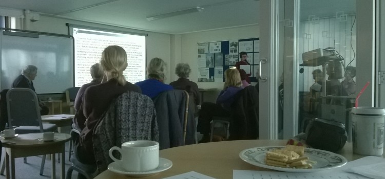
Yesterday morning, Mapping for Change ventured out of the office to attend one of the lively Kilburn Older Voices Exchange events; Older people and the street environment. Keen to discuss issues with accessibility, and factors which influence people’s decisions to get out and about in their local community, we met at a snowy West Hampstead station and headed towards the Kingsgate Resource Centre.
Transport Stories: Taking Steps Towards Accessibility!
On 25th February 2015 Hannah posted in Featured, News
Bored of being unable to board? Mapping for Change have been busy creating a Transport Stories Community Map, which will enable you to report the accessibility problems you face when using public transport in and around London.
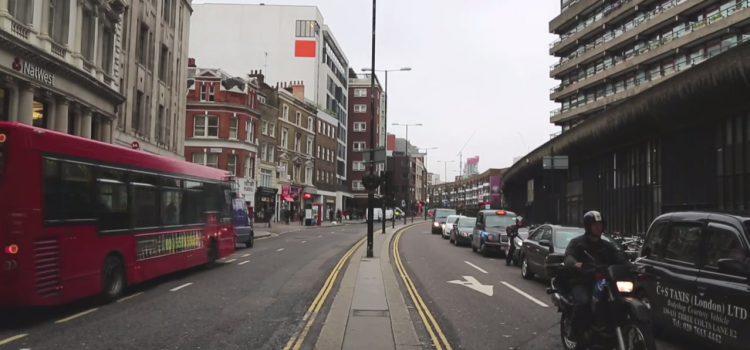
The Busy Roads of Southend
On 18th February 2015 Hannah posted in Featured, News
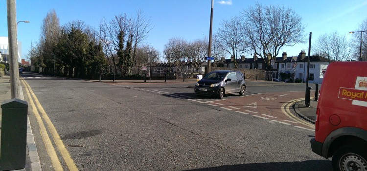
As we get older, there are various personal, social and environmental factors which may limit the amount we go out and about in our local area. One of these relates to the physical layout of our neighbourhood, particularly how walkable it is, at a time when we start to become less mobile. This week, Mapping for Change have been in Southend-on-Sea, to begin our investigation of how the local community responds to the area’s busy main roads. Extreme self-control also saw us resist the temptation to eat fish and chips! We hope you’re as proud of us as we were.
Lessons in Accessibility: UCL Try It!
On 13th February 2015 Hannah posted in Events, Featured, News
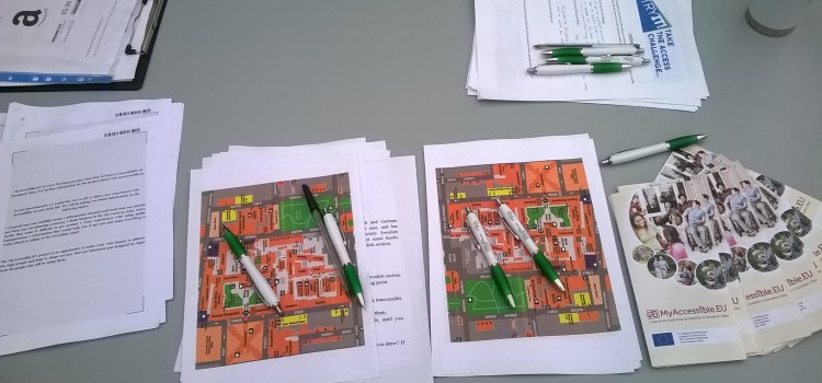
It may sound obvious to state that universities should be accessible. Of course, all education should take place in sites where everyone feels encouraged and able to participate, regardless of age, gender or background. However, there’s a more fundamental aspect to the term accessibility, but it’s one that is not always considered. This is the accessibility of a university’s built environment, and that is what UCL Try It! aimed to explore here in London.
Try It! The UCL Access Challenge
On 30th January 2015 Hannah posted in Events, Featured, News
On February 12th, Mapping for Change will be participating in a series of activities designed to raise awareness about access issues on the UCL campus.