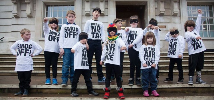
Community Air Quality Monitoring
On 24th November 2015 Hannah posted in Featured, News
Access the National Trails: 23,000 metres mapped!
On 13th November 2015 Hannah posted in Events, Featured, News
Our Access the National Trails initiative has seen happy mappers across the country collect more than 4400 photographs, covering a staggering 23,000 metres of footpath! With more images uploaded every week, we hope to hit 25,000 metres by the end of the year.
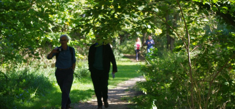
Access the National Trails: Thixendale
On 2nd October 2015 Hannah posted in Events, Featured, News
On Tuesday morning, the Mapping for Change team dusted off their walking boots and hopped on a train to Yorkshire for the 2nd of our Access the National Trails mapping workshops.
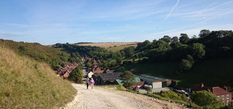
Access the National Trails: Eynsham
On 21st September 2015 Hannah posted in Uncategorised
September weather averages defied all expectations last Friday as the sun shone down on the first Access the National Trails workshop in Eynsham, Oxfordshire. Our goal: to kick-start a national movement of volunteers keen to collect information about the accessibility of trails, using mobile phone applications.
National (Accessible) Trails!
On 3rd September 2015 Hannah posted in Events, Featured, News
Summer is coming to an end: the days are getting shorter, umbrellas are whizzing off the shelves, and small streams are forming alongside every pavement. What better time to contemplate walking in our beautiful natural landscapes?! The National Trails stretch across 2,500 miles of England and Wales, and they’re waiting to be enjoyed by everyone, whatever the weather. However, a lack of information about accessibility on the National Trails means that many people with limited mobility are unable to make the most of them, come rain or shine. We’re working with the National Trails and Walk Unlimited to promote walking for people with limited mobility, by collecting information about accessibility along the trails.
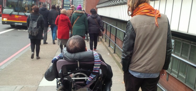
Southend-on-Sea: The Walking Journals
On 20th July 2015 Hannah posted in Events, News
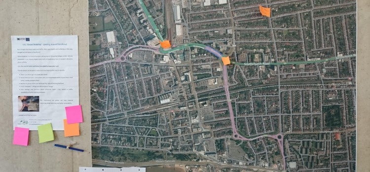
Sun, sea and busy dual carriageways: an update on our community engagement in Southend-on-Sea, for the interdisciplinary research project, Street Mobility and Network Accessibility.
Co-Designing Mobile Accessibility App
On 30th June 2015 Louise posted in Featured, News
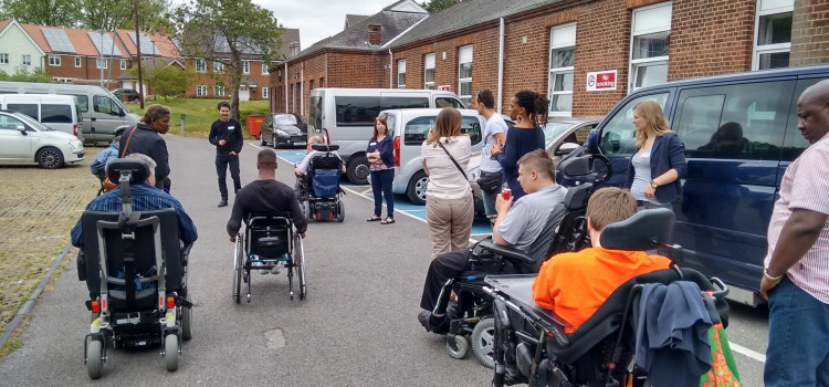
On 19th June the MyAccessible.EU team from Mapping for Change teamed up with members from UCL ExCiteS research group, Ross Akin, an accessibility designer, Dr Catherine Holloway and Sarah Nicholson from UCL’s CEGE Dept., and users of the Queen Elizabeth’s Foundation Mobility Centre for a day long workshop. The idea was to co-design a mobile application that could enable users to identify and map barriers to accessibility within the urban realm using Sapelli; a mobile data collection and sharing platform designed with a particular focus on users with little or no prior ICT experience. Sapelli offers pictorial decision trees and icon-driven interfaces as opposed to the forms and check boxes traditionally used in many mobile apps.
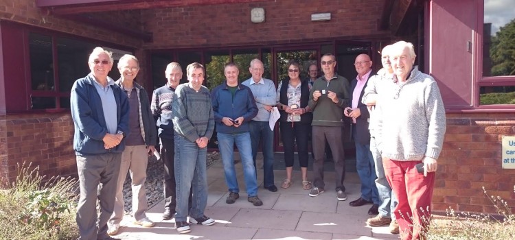
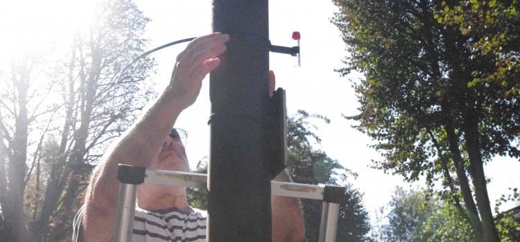
10 Communities Begin NO2 Monitoring
On 24th June 2015 Hannah posted in Uncategorised
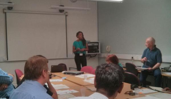
London’s air pollution is a pertinent, under-acknowledged, and often shocking issue. Many communities are taking it into their own hands to discover just how polluted their local area is, by conducting Citizen Science initiatives to measure levels of nitrogen dioxide. Last night, 10 new community groups from across London ventured into UCL to collect monitoring equipment, and begin their collective local action.
Access: going beyond ramps
On 8th June 2015 Hannah posted in Featured
Accessibility. 6 syllables. Many more benefits for cities.
When many people imagine physical ‘accessibility’ in the urban context, what typically springs to mind is an assortment of glamorous and exciting objects: sloping ramps, roll-in lifts, maybe even dropped kerbs. True, these objects aren’t entirely fascinating, but they are undoubtedly crucial for inclusive, accessible cities. Thankfully this blog isn’t about dropped kerbs. Instead, it focuses on why we should all be championing accessibility. The reason? There are many unexpected environmental and economic benefits for doing so.
Community Air Quality Monitoring – Funding Available
On 2nd June 2015 Hannah posted in Events, Featured, News
Mapping for Change can now enable up to four communities to undertake Air Quality Mapping projects by offering them a share of £1,000 funding. Proposals are invited from communities across London. The funds will cover the cost of purchasing diffusion tubes to measure nitrogen dioxide (NO2), laboratory analysis, and map creation. There is a strong likelihood of media coverage throughout the project.