Stakeholder Workshop for Collaborative Community Engagement Platform.
On 14th December 2017 Louise posted in Events, Featured, News
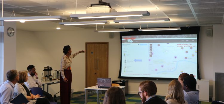
Understanding the needs and aspirations of different actors in the collaborative delivery of public sector services were among the goals of a stakeholder workshop held in October at the Canada Water Library. Key representatives from the London Borough of Southwark, voluntary sector organisations, and partners of the WeGovNow project engaged in an interactive and lively discussion.
Love Lambeth Air Final Event
On 18th May 2017 Agnes posted in Events, Featured, News
We have now come to an end of the six month monitoring period of our Love Lambeth Air project.
Mapping for Change, for Lambeth Council, has been providing diffusion tubes to Lambeth residents and businesses to measure nitrogen dioxide outside their home or office over the course of six months from October 2016.
Overall we had 30 participants monitoring 34 sites across the borough of Lambeth from Waterloo to West Norwood. The wide spread of monitoring was only made possible with thanks to the volunteer surveyors who every month changed the diffusion tube outside their home or office and returned the old tube for it to be processed in the lab for analysis. The results from the six months of monitoring will be made available on the Community Air Quality Map.
Access the National Trails: Still Walking
On 24th November 2016 Agnes posted in Featured, News
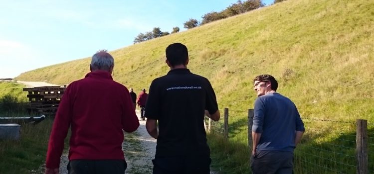
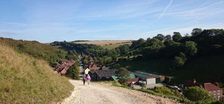
A year after our series of mapping workshops, the Access the National Trails initiative is still alive and kicking. In the amazing chalk landscapes of Yorkshire Wolds Way, trail officer Malcolm Hodgson continues to map footpaths along with other walkers and volunteers using simple mobile applications collecting images and detailed information about particular obstacles.
‘Ramp It Up!’ Contest Promotes Accessibility in the UK
On 3rd November 2016 Agnes posted in Featured, News
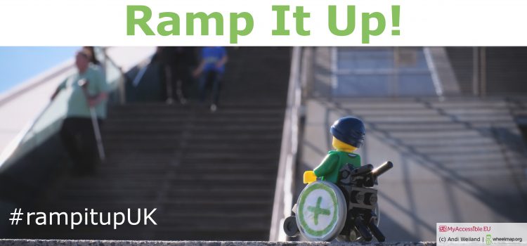
Mapping for Change is inviting communities from around the UK to help their towns and cities become more wheelchair friendly. We are calling on you to ‘Ramp it Up!’ and have launched an exciting competition to encourage your local business owners to get on board.
South Bank University Maps for Access!
On 1st December 2015 Hannah posted in Events, Featured, News
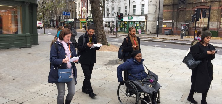
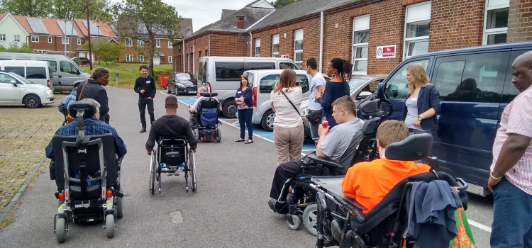
It’s that time of year when courageous mappers embrace the cold and head out to celebrate the International Day of Persons with Disability! Yesterday, Mapping for Change joined forces with Health and Social Care students from London South Bank University for a voyage of accessibility discovery around Waterloo.
Community Air Quality Monitoring
On 24th November 2015 Hannah posted in Featured, News
Access the National Trails: 23,000 metres mapped!
On 13th November 2015 Hannah posted in Events, Featured, News
Our Access the National Trails initiative has seen happy mappers across the country collect more than 4400 photographs, covering a staggering 23,000 metres of footpath! With more images uploaded every week, we hope to hit 25,000 metres by the end of the year.
Access the National Trails: Thixendale
On 2nd October 2015 Hannah posted in Events, Featured, News
On Tuesday morning, the Mapping for Change team dusted off their walking boots and hopped on a train to Yorkshire for the 2nd of our Access the National Trails mapping workshops.
National (Accessible) Trails!
On 3rd September 2015 Hannah posted in Events, Featured, News
Summer is coming to an end: the days are getting shorter, umbrellas are whizzing off the shelves, and small streams are forming alongside every pavement. What better time to contemplate walking in our beautiful natural landscapes?! The National Trails stretch across 2,500 miles of England and Wales, and they’re waiting to be enjoyed by everyone, whatever the weather. However, a lack of information about accessibility on the National Trails means that many people with limited mobility are unable to make the most of them, come rain or shine. We’re working with the National Trails and Walk Unlimited to promote walking for people with limited mobility, by collecting information about accessibility along the trails.
Co-Designing Mobile Accessibility App
On 30th June 2015 Louise posted in Featured, News
On 19th June the MyAccessible.EU team from Mapping for Change teamed up with members from UCL ExCiteS research group, Ross Akin, an accessibility designer, Dr Catherine Holloway and Sarah Nicholson from UCL’s CEGE Dept., and users of the Queen Elizabeth’s Foundation Mobility Centre for a day long workshop. The idea was to co-design a mobile application that could enable users to identify and map barriers to accessibility within the urban realm using Sapelli; a mobile data collection and sharing platform designed with a particular focus on users with little or no prior ICT experience. Sapelli offers pictorial decision trees and icon-driven interfaces as opposed to the forms and check boxes traditionally used in many mobile apps.