Participatory Mapping at School of Trainers
On 20th January 2015 Louise posted in Featured, News, Training
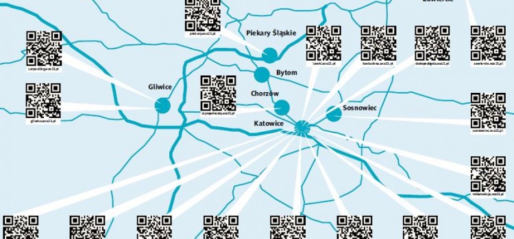
Last weekend MfC were in Poland training participants from Meritum School of Trainers in the use of participatory mapping techniques. Armed with the new skills trainees hit the streets of Ligota to explore what local residents felt about their community. Using a mixture of paper-based maps, photographs, and video interviews to capture local perceptions, participants went on to collate their findings on the new Community Maps platform.
Come to our Mapping Party!
On 7th November 2014 Hannah posted in Events, Featured, News
This week, the Mapping for Change team have been busily preparing for our Wheelmap Mapping Parties! These events will coincide with UN Enable’s International Day of Persons with Disabilities – held annually on December 3rd.
For 2014, the UN have chosen ‘Sustainable Development: the Promise of Technology’ as a theme, to highlight the promises and limitations of technology that are experienced by people with disabilities. Technology has the power to bring far-reaching, positive change, and no groups should be excluded from this.
Given the technological scope of our ongoing project, My Accessible EU, the day seemed like an excellent opportunity to host a series of activities: et voila! The idea of a pan-European Mapping Party was born!
Community Air Quality Mapping Funding Opportunity
On 5th November 2014 Hannah posted in Featured, News
Mapping for Change now have £1,000 funding available to enable up to four communities to undertake Air Quality Mapping projects. Proposals are invited from communities across London. The funds will cover the cost of purchasing diffusion tubes to measure nitrogen dioxide (NO2), laboratory analysis, and map creation.
Clean Up London Air
On 8th October 2014 Louise posted in Featured, News
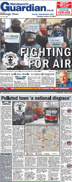
Four communities across London took part in a month long citizen science project supported by Mapping for Change. The aim of ‘Clean Up London Air’ was to monitor and map Nitrogen Dioxide (NO2) pollution levels in both quiet residential areas selected by the local residents and adjacent roads with heavy passing traffic during the month of July. The four areas involved in the project, Latimer Road, Camden, Islington and Crystal Palace can be viewed on the Air Quality Community Map.
Street Mobility Mapping Project
On 27th May 2014 Louise posted in Featured, News
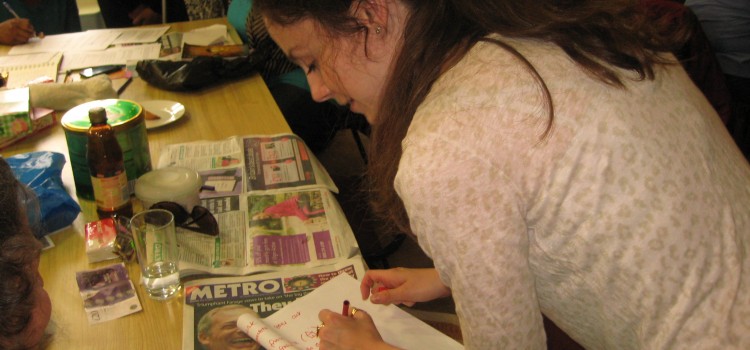
Throughout March to June 2014 we have been working in the Woodberry Down area of north London, preparing the way for the first in a series of four community mapping projects exploring how busy roads impact on the daily lives of residents. The Woodberry Down Estate is dissected by the busy Seven Sisters Road, and the area is being transformed by a substantial private – public regeneration scheme that will include new blocks of privately and social housing units.
Citizen Science – What difference does it make?
On 27th February 2014 Louise posted in Featured, News

Whilst showing a resident how to use a particulate air quality monitor, he told me that he would “never walk in Beech Street Tunnel again”. This statement was based on his involvement in Science in the City, a citizen science project that we are currently running to support communities to measure and map air quality. Based on the data gathered by the local community, between October 2013 and February 2014, this particular resident decided that there are cleaner, ‘healthier‘ and less polluted routes he could take to and from his home. When we at Mapping for Change are asked what impact our work has, or how involving non-professional scientists in community based scientific research makes a difference – I guess here’s the answer! This chap might even live an extra few years – who knows!!
Mapping for Change wins UCL Social Enterprise Award
On 16th May 2013 Louise posted in Featured, News
Mapping for Change has won the 2013 UCL Social Enterprise Project of the Year Award for its’ innovative work using on-line mapping with local communities and on ‘citizen science’.
Social Workers and Participatory Mapping
On 23rd January 2013 Louise posted in Featured, News, Training
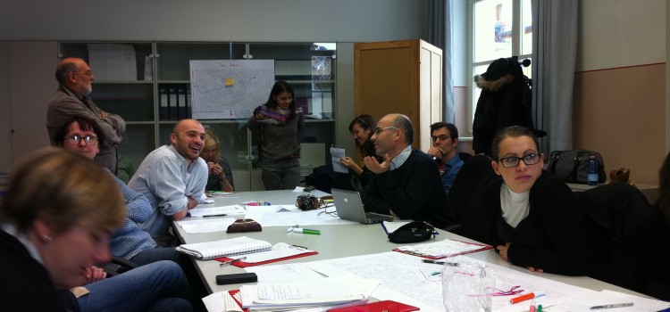
In September of last year Louise Francis, Director of MfC, went out to Udine to deliver a seminar and training session to students from the University of Udine, visiting students from the University of Oulu and employees of Vicin di Casa, a local not-for-profit organisation whose aim is to promote and facilitate access to housing by migrants. Students who attended came from courses on social work, and technology and education.
Participatory Mapping – a tool for informal learning
On 22nd May 2012 Louise posted in Featured, News
Partners from the University of Udine and University of Oulu joined us for a two day seminar that ran from the 17th-18th May and formed part of the ‘Active Citizenship in Social Housing (ACts)‘ project, funded under the Grundtvig Life Long Learning Programme. The seminar provided an opportunity for partner institutions to learn more about Mapping for Change’s use of participatory mapping with communities in the UK.
