Accessibility Questionnaire
On 23rd January 2015 Hannah posted in Events, Featured, News
Are you a wheelchair user, or someone who uses another type of mobility aid to get around? Will you help us out by sharing your expertise and experiences?
Here at Mapping for Change, we’ve been busy working on one of our current projects, My Accessible EU. This project aims to develop digital tools, such as mobile phone applications, that will enable people to collect and share information about accessibility in European cities. Part of this will involve the creation of applications to help plan journeys and navigate when on route. To ensure these tools are as beneficial as possible, we need insights and feedback from people like you!
Communities Embark on Air Quality Mapping
On Hannah posted in Events, Featured, News
After receiving £1000 funding in November, Mapping for Change called for up to four communities to conduct air quality monitoring work in their local area. Each community would undertake a month-long monitoring process during February 2015, placing plastic diffusion tubes in strategic areas to measure nitrogen dioxide levels.
Participatory Mapping at School of Trainers
On 20th January 2015 Louise posted in Featured, News, Training

Last weekend MfC were in Poland training participants from Meritum School of Trainers in the use of participatory mapping techniques. Armed with the new skills trainees hit the streets of Ligota to explore what local residents felt about their community. Using a mixture of paper-based maps, photographs, and video interviews to capture local perceptions, participants went on to collate their findings on the new Community Maps platform.
DisabledGo Study – Evidence of Inaccessible British High Streets
On 8th December 2014 Louise posted in Featured
A new DisabledGo study published on December 7th 2014 highlights the inaccessibility of the British High Street to disabled people – the research underlines the importance of the MyAccessibleEU project that Mapping for Change are currently working on with our EU partners to improve the availability of on-line accessibility information. The DisabledGo research, which spanned across 30,000 shops and restaurants nationwide, found that less than a third of departments have accessible changing rooms, two thirds of retail staff have no training in how to help disabled customers and 40% of restaurants have no accessible toilet. The news comes as Britain’s 12 million disabled people begin their Christmas shopping and head out to celebrate the festive season with their work colleagues and friends. Find details of the DisableGo research in their following press release:
Come to our Mapping Party!
On 7th November 2014 Hannah posted in Events, Featured, News
Mapping party!
This week, the Mapping for Change team have been busily preparing for our Wheelmap Mapping Parties! These events will coincide with UN Enable’s International Day of Persons with Disabilities – held annually on December 3rd.
For 2014, the UN have chosen ‘Sustainable Development: the Promise of Technology’ as a theme, to highlight the promises and limitations of technology that are experienced by people with disabilities. Technology has the power to bring far-reaching, positive change, and no groups should be excluded from this.
Given the technological scope of our ongoing project, My Accessible EU, the day seemed like an excellent opportunity to host a series of activities: et voila! The idea of a pan-European Mapping Party was born!
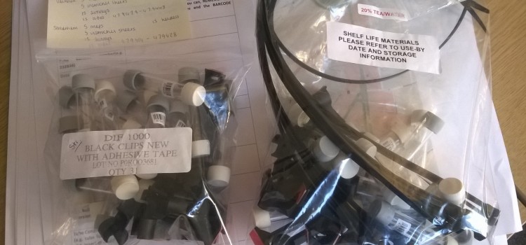
Community Air Quality Mapping Funding Opportunity
On 5th November 2014 Hannah posted in Featured, News
Mapping for Change now have £1,000 funding available to enable up to four communities to undertake Air Quality Mapping projects. Proposals are invited from communities across London. The funds will cover the cost of purchasing diffusion tubes to measure nitrogen dioxide (NO2), laboratory analysis, and map creation.
Clean Up London Air
On 8th October 2014 Louise posted in Featured, News
Four communities across London took part in a month long citizen science project supported by Mapping for Change. The aim of ‘Clean Up London Air’ was to monitor and map Nitrogen Dioxide (NO2) pollution levels in both quiet residential areas selected by the local residents and adjacent roads with heavy passing traffic during the month of July. The four areas involved in the project, Latimer Road, Camden, Islington and Crystal Palace can be viewed on the Air Quality Community Map.
Mapping for Change Access All Areas with TfL!
On 6th October 2014 Hannah posted in Events, Featured
Here at Mapping for Change, we’ve been busy working on our latest project – the EU-funded My Accessible EU. Accessibility is a key issue in cities all over the world. However, for various reasons, plenty of people can often struggle to access services and facilities. These issues are likely to affect everyone at some point in their lives: as parents or carers with pushchairs, as wheelchair users, or more generally as people grow older and become less mobile. My Accessible EU hopes to raise awareness about these problems, and devise new tools and technologies which can help to make European cities more inclusive places for everyone.
Street Mobility at Abbey Road Coffee Morning
On 1st October 2014 Hannah posted in Events, Featured
Last Friday, Mapping for Change joined a group of residents at the Abbey Road Community Centre for their weekly coffee morning. The centre is situated on Belsize road, midway between Kilburn High Road and West Hampstead Overground stations. We were welcomed to their garden room with coffee and custard creams, and spent a couple of hours nibbling away, and discussing people’s experiences of the local area.
Street Mobility Project Moves to Finchley Road
On 8th September 2014 Louise posted in Featured
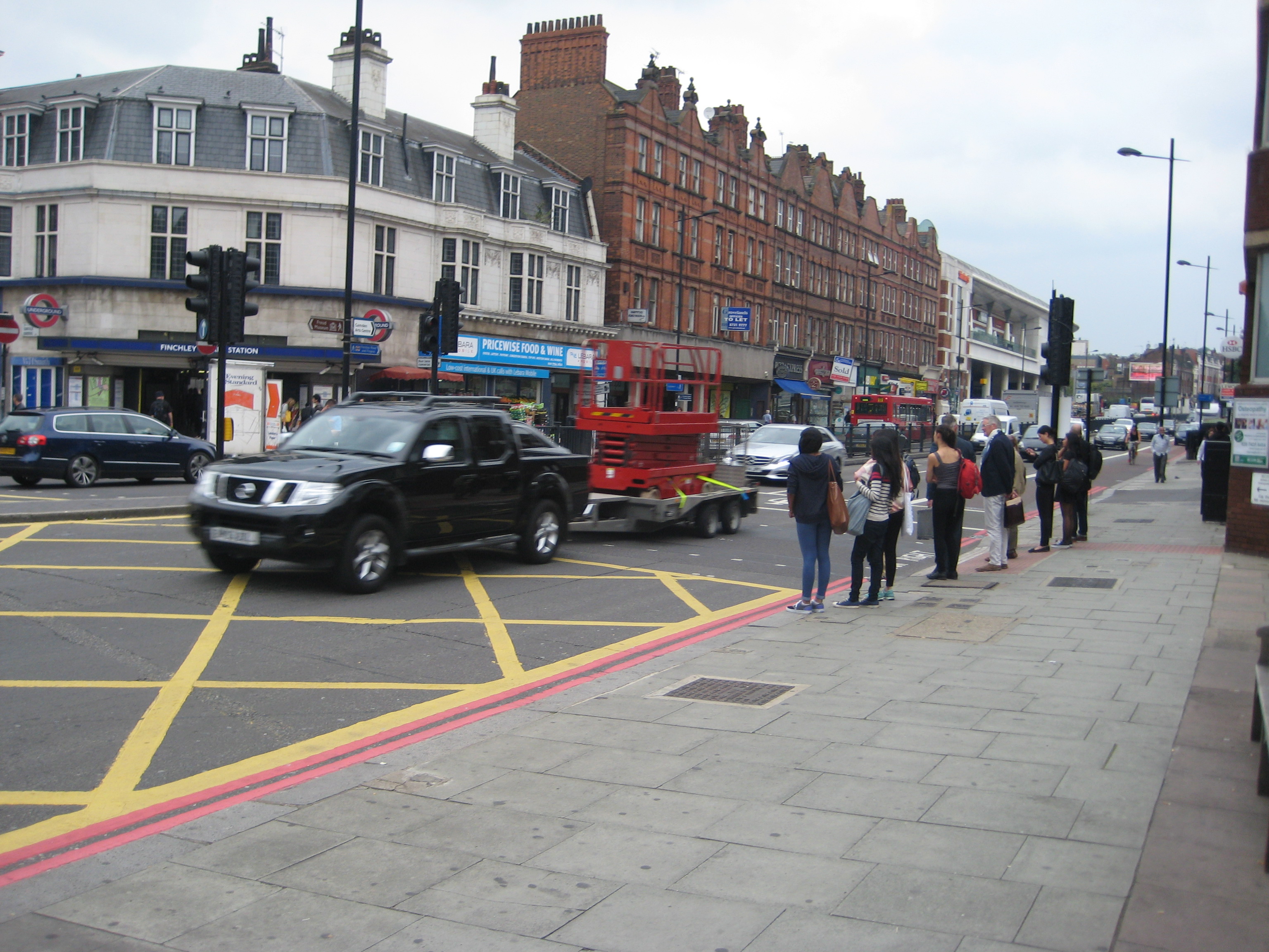
Sunny days throughout August have found Mapping for Change at the Swiss Cottage Farmers Market, a great venue for meeting local residents as they browse the colourful produce stalls and have leisurely lunch or coffee breaks in the market square. So far it has been a refreshing experience with so many people saying how much they like the area and are genuinely happy with their neighbourhood and excellent local facilities:
“There is the Hampstead Theatre, Swiss Cottage Community Centre, the Leisure Centre, Library and Cinema all within a stone’s throw of my flat – there is always somewhere to go and something to do, its like living on the edge of paradise.”
Taking a walk every day is critical for health and well-being. Local residents share with us their cleverly devised routes that avoid the steepest hills that characterise the area:
I walk everywhere, to Waitrose daily and to Primrose Hill and Hampstead Heath, I do contouring to avoid the hills.