Southend-on-Sea: The Walking Journals
On 20th July 2015 Hannah posted in Events, News
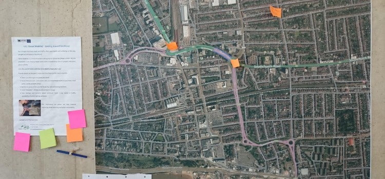
Sun, sea and busy dual carriageways: an update on our community engagement in Southend-on-Sea, for the interdisciplinary research project, Street Mobility and Network Accessibility.
The Busy Roads of Southend
On 18th February 2015 Hannah posted in Featured, News
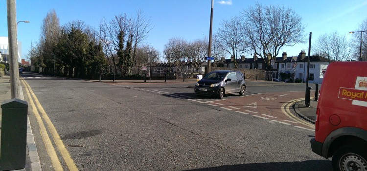
As we get older, there are various personal, social and environmental factors which may limit the amount we go out and about in our local area. One of these relates to the physical layout of our neighbourhood, particularly how walkable it is, at a time when we start to become less mobile. This week, Mapping for Change have been in Southend-on-Sea, to begin our investigation of how the local community responds to the area’s busy main roads. Extreme self-control also saw us resist the temptation to eat fish and chips! We hope you’re as proud of us as we were.
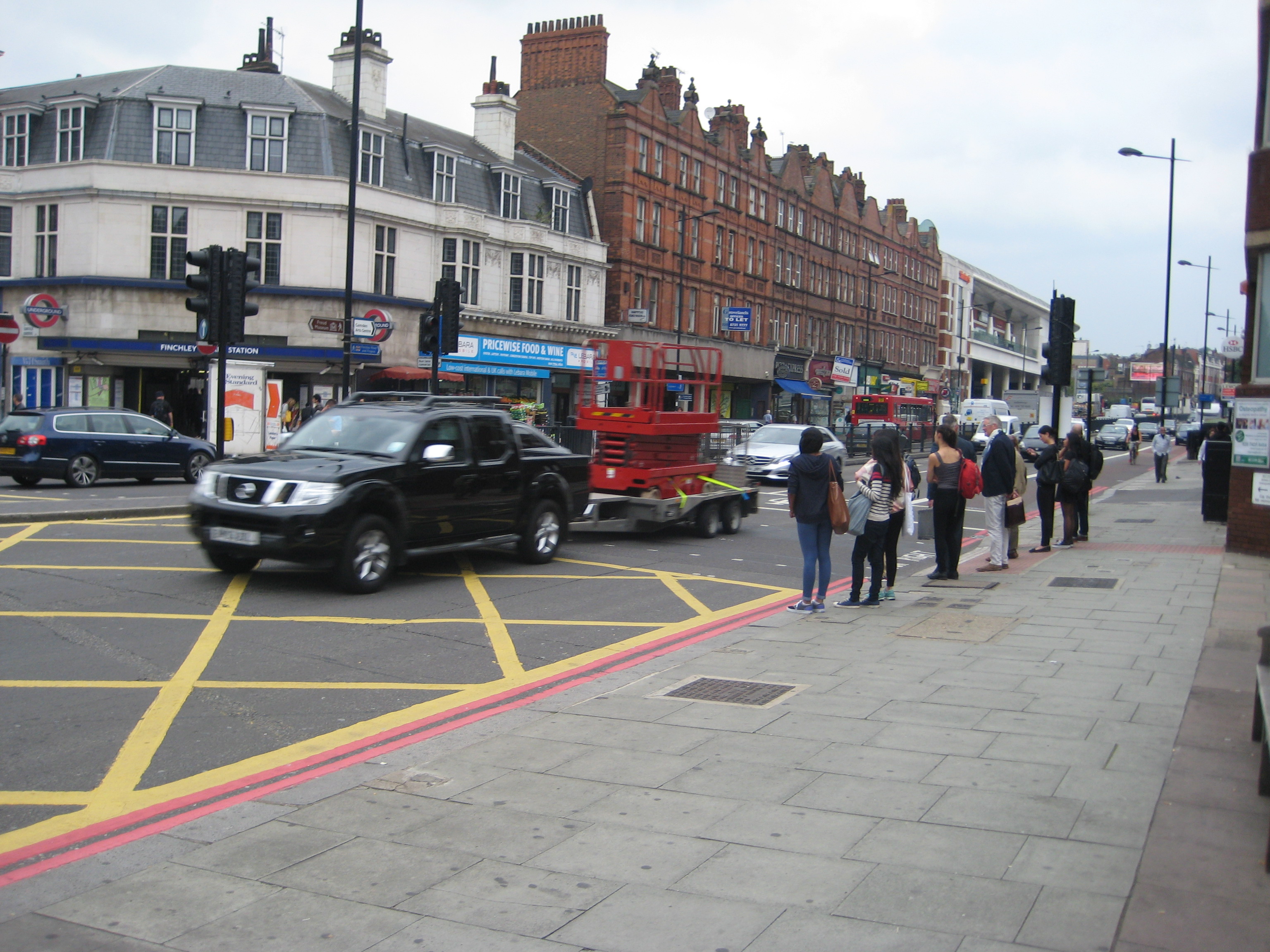
Street Mobility Project Moves to Finchley Road
On 8th September 2014 Louise posted in Featured
Sunny days throughout August have found Mapping for Change at the Swiss Cottage Farmers Market, a great venue for meeting local residents as they browse the colourful produce stalls and have leisurely lunch or coffee breaks in the market square. So far it has been a refreshing experience with so many people saying how much they like the area and are genuinely happy with their neighbourhood and excellent local facilities:
“There is the Hampstead Theatre, Swiss Cottage Community Centre, the Leisure Centre, Library and Cinema all within a stone’s throw of my flat – there is always somewhere to go and something to do, its like living on the edge of paradise.”
Taking a walk every day is critical for health and well-being. Local residents share with us their cleverly devised routes that avoid the steepest hills that characterise the area:
I walk everywhere, to Waitrose daily and to Primrose Hill and Hampstead Heath, I do contouring to avoid the hills.
Living with the Seven Sisters Road
On 16th July 2014 Louise posted in Featured

Word Cloud from Woodberry Down Perception Mapping
Community mapping from the first pilot for the Street Mobility Project has provided interesting insights into how the people of Woodberry Down have adapted to the presence of a major busy road cutting through their estate. They told us how communities and movement networks evolved round connected neighbourhoods on different sides of the road, most often made up of the friends and neighbours in their housing block.
There was a real community – We all knew each other, our children grew up together and you knew who your neighbours were, we all looked out for each other and the children. We never really went over Seven Sisters Road, there was no real need to.
Woodberry Down resident (80)
Street Mobility Mapping Project
On 27th May 2014 Louise posted in Featured, News
Throughout March to June 2014 we have been working in the Woodberry Down area of north London, preparing the way for the first in a series of four community mapping projects exploring how busy roads impact on the daily lives of residents. The Woodberry Down Estate is dissected by the busy Seven Sisters Road, and the area is being transformed by a substantial private – public regeneration scheme that will include new blocks of privately and social housing units.