Access the National Trails: Still Walking
On 24th November 2016 Agnes posted in Featured, News
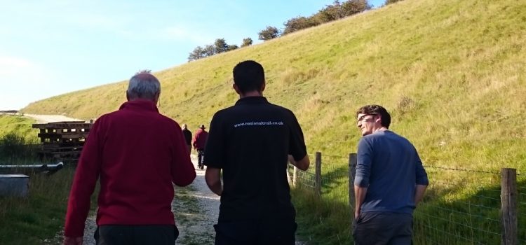
A year after our series of mapping workshops, the Access the National Trails initiative is still alive and kicking. In the amazing chalk landscapes of Yorkshire Wolds Way, trail officer Malcolm Hodgson continues to map footpaths along with other walkers and volunteers using simple mobile applications collecting images and detailed information about particular obstacles.
Access the National Trails: 23,000 metres mapped!
On 13th November 2015 Hannah posted in Events, Featured, News
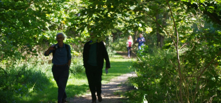
Our Access the National Trails initiative has seen happy mappers across the country collect more than 4400 photographs, covering a staggering 23,000 metres of footpath! With more images uploaded every week, we hope to hit 25,000 metres by the end of the year.