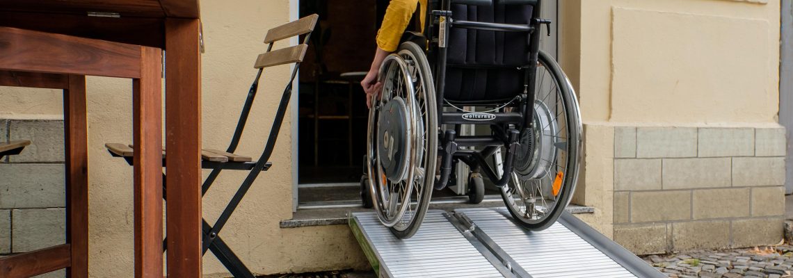
‘Ramp It Up’ was a social media campaign aiming to increase awareness about the barriers people with limited mobility face on a daily basis. We called on communities to help their towns and cities become more wheelchair friendly by encouraging shops, restaurants or any building open to the public to use portable wheelchair ramps if more permanent solutions cannot be made.
The Contest
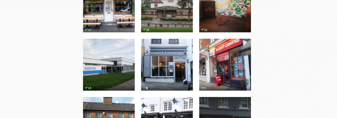
In November 2016, business owners and their customers were invited to nominate establishments for a portable ramp suitable for bridging 1 or 2 steps. They could then encourage their communities to vote for their entries. The winners were chosen based on the number of votes they received. 10 winners were announced on December 3, timed to coincide with International Day of Persons with Disability.
The Background
‘Ramp It Up’ was part of a much broader effort underway. MyAccessible.EU is a research project funded by the European Commission. The project aims to make cities’ built environment more accessible for people with limited mobility by challenging social attitudes, raising awareness and delivering assistive mobile applications.
Our work involved engaging with community and end user groups, identifying major accessibility issues, collaborating with relevant secondary stakeholder groups, and organising awareness raising activities.
Other Relevant Actions
- Transport Stories
From the groups Mapping for Change have engaged, the vast majority reported a range of problems in public transport including poor physical access to vehicles, a lack of staff awareness, and negative attitudinal experiences from transport staff and fellow passengers. To address this, and provide a platform for people to report these issues, we developed a Transport Stories Community Map. You can use the map to report any kind of accessibility issue faced when using public transport, anywhere in the UK.
- National Trail
We have also worked with officers from York Wolds Way National Trail to provide a platform to enable the trails officers, volunteers and the general public to map barriers along the trails. Much of the Yorkshire Wolds Way is accessible, but a lack of easily available accessibility information means it is still off-limits for many people. Initiatives like these can be rolled out to improve awareness of accessibility on all of the National Trail.
- Wheelmap
Wheelmap is a relevant tool providing information on accessible locations across Europe. It is a free app mapping public places which are accessible for wheelchair users. However, it relies on everyone to share their observations so others can benefit. We are always looking for people to contribute to and use Wheelmap and are happy to hear from anyone interested in getting involved as a Wheelmap Ambassador.
Useful Links for Service Providers
The Equality and Human Rights Commission‘s website holds information on the responsibilities of service providers to make reasonable adjustments for disabled people.
For information on buying ramps, we recommend Wheelramp.
Related Projects
Mapping the Pathway to Equalities
There are around 30,000 Gypsies and Travellers in London. Their culture and traditions have developed through a nomadic way of life over centuries. However, across the country the community face an uncertain future. With some of the poorest social outcomes of any group in Britain the burgeoning cuts to public services will have a disproportionate effect on the community.
Evaluating People Zones Leicestershire
Through engaging residents in an Asset-Based Community Development Approach, our research for People Zones Leicestershire generated lasting resources which helped identify opportunities for hyper localised community initiatives. Now, we’re returning to evaluate the program’s impact, aiming to provide concrete evidence of its effectiveness in reducing crime and promoting community well-being.
Love Lambeth Air
Love Lambeth Air provided local people with the materials and support required to collect measurements for nitrogen dioxide across a number of streets in Lambeth, providing a detailed picture of air quality in their local area.


