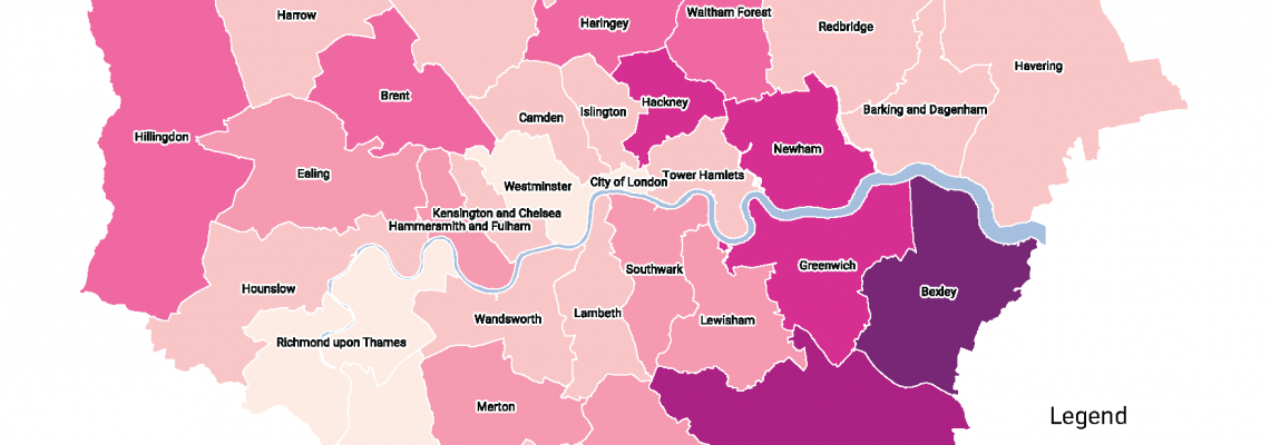
There are around 30,000 Gypsies and Travellers in London. Their culture and traditions have developed through a nomadic way of life over centuries. However, across the country the community face an uncertain future. With some of the poorest social outcomes of any group in Britain the burgeoning cuts to public services will have a disproportionate effect on the community.
The lack of robust data is a key challenge to achieving race equality and there are a number of areas where gaps in evidence on Gypsy and Traveller communities negatively affect the formulation of inclusive policies to adequately meet their needs. The first step towards transformative social change is for all stakeholders in decision making processes to have comprehensive evidence, to expose inequalities and injustices, to inform policy making and to enable civil society groups to hold authorities accountable on their decisions.
Our Role
We aim to address the current gaps in data by providing an authoritative evidence-base on London Gypsy and Traveller communities, their presence, history and the inequalities and social exclusion they face. By supporting participation in the gathering of data, Gypsies and Travellers will gain greater knowledge and increased skills and confidence to campaign for a better, more equal future
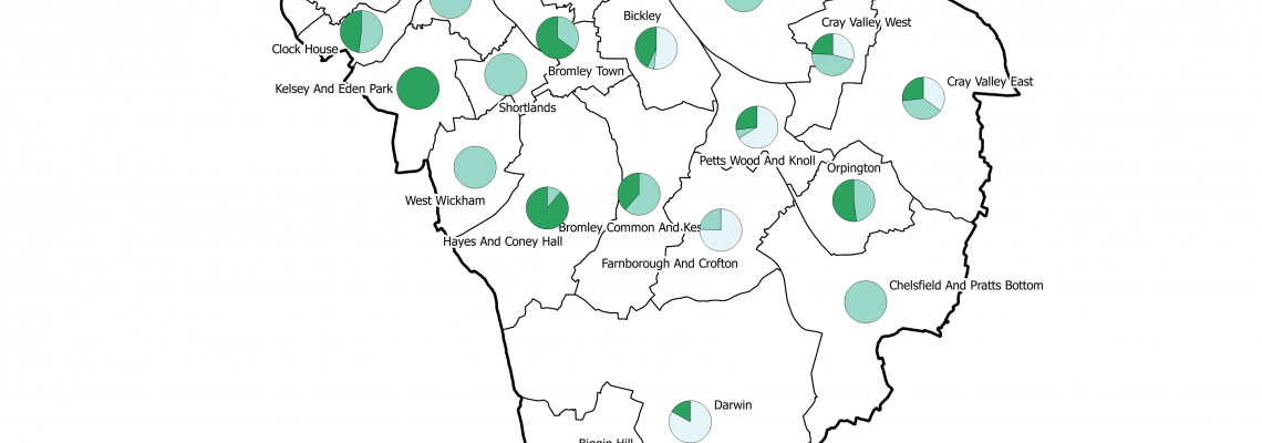
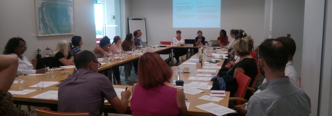
With the support of the Joseph Rowntree Charitable Trust (JRCT), and in collaboration with the London Gypsies and Travellers charity, Mapping for Change hopes to contribute to this venture by initiating and delivering a participatory process for the co-creation of a series of innovative online interactive maps to collect, visualise and analyse valuable information on London’s Gypsy and Traveller Communities.
Related Projects
Breathe Clean - Citizen Science in Tower Hamlets
Breathe Clean will be providing Tower Hamlets residents with the materials & training needed to monitor nitrogen dioxide levels around the places that matter to them. Participants will measure the air quality at a number of locations over a period of six months, to get a more granular picture of the situation in the borough. The data from the Breathe Clean project will be made available on Mapping for Change’s community maps webpage.
Urbex - Engaging Young People Through Urban Exploration
This is a project which used urban exploration as an innovative way to engage young people at risk of social exclusion and encourage their participation in civic issues. Each partner organisation worked in a specific pilot neighbourhood to test and deliver different approaches and applications of urban exploration.
Putting Ourselves on the Map
Mapping for Change in collaboration with the Humanities Education Centre (HEC) and local specialist on learning and ‘place’ Maggie Hewitt, worked with three schools in Tower Hamlets (Columbia School Community Map, Arnhem Wharf School Community Map and John Scurr School Community Map) to pilot a brand new process in which Year 4 pupils develop personalised maps of their local area with their own likes, memories and views on change.


