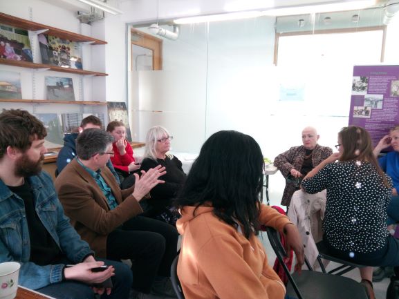
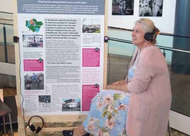
Generations of Romany Gypsies, Irish Travellers and Travelling Showpeople have lived and worked in London. Yet their unique contributions to the capital’s social, economic and cultural life remains widely unknown. This project aims to make visible their presence and experiences of the city over the last few hundred years, identifying:
- Memories of place – traditional stopping places, travelling routes, local authority caravan sites that have been lost and other places of significance for the community.
- Lived experiences – individual and family histories and memories related to travelling, living and working in London.
- Practices – economic and cultural activities; social infrastructure; decisions and procedures affecting Gypsies and Travellers (e.g. Olympic site relocations, borough-wide injunctions etc).
Diverse heritage material gathered by our partner, the charity London Gypsies and Travellers, has been made accessible through the first interactive, online maps of London. Interviews, archives, and personal documents are shared with the community and wider public through these maps:
- London from the 19th to the mid-20th Century. Yards, commons and green corridors. Examples of the relationship between the routes -through principal arteries and “green corridors” between London and the surrounding counties- and the camps and stopping places along the city.
- Project-London from the 70s. Camps, evictions and the politics of sites. This map shows how London’s Romany Gypsies and Irish Travellers became active in the fight for sites following the 1968 Caravan Sites Act; it also records the fragile security of sites created under such Act, the deteriorating conditions of sites through the 1980s and 90s, and the much greater insecurity the law brought to those on the road.
Our role
Mapping for Change is responsible for developing the interactive Community Maps to host the data and the materials collected through the research activities. To co-create bespoke maps and icons, consultation and training workshops with the project team and other community members are delivered. We are also responsible for Evaluating the project through qualitative (e.g. interviews to participants and focus groups) and quantitative methods to gather this evidence (e.g. stats about the maps use and social media reach).
Partners
We delivered this project in partnership with London Gypsies and Travellers, between March 2018 and December 2019, with funding from the National Lottery Heritage Fund. The two organisations have been working collaboratively since 2017 on the project ‘Mapping the Pathway to Equality’, which created an evidence base regarding Gypsy and Traveller communities in London to support more inclusive policy making.
Related Projects
MyAccessible.EU
MyAccessible.EU is a three year research project funded by the European Commission. It aims to make cities’ built environment more accessible for disabled and older people by challenging social attitudes, raising awareness and delivering assistive mobile applications. These mobile applications will provide tools for collectively gathering and sharing information about accessibility of public spaces.
Love Lambeth Air
Love Lambeth Air provided local people with the materials and support required to collect measurements for nitrogen dioxide across a number of streets in Lambeth, providing a detailed picture of air quality in their local area.
Evaluating People Zones Leicestershire
Through engaging residents in an Asset-Based Community Development Approach, our research for People Zones Leicestershire generated lasting resources which helped identify opportunities for hyper localised community initiatives. Now, we’re returning to evaluate the program’s impact, aiming to provide concrete evidence of its effectiveness in reducing crime and promoting community well-being.

