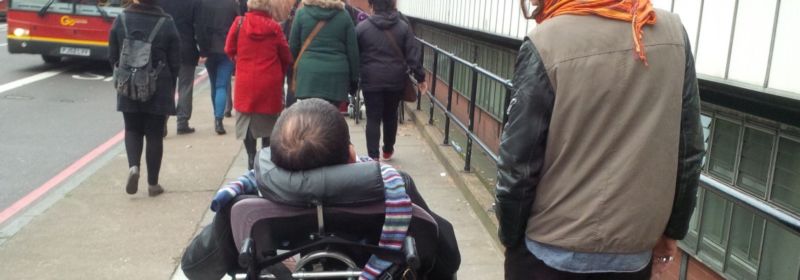
Europe needs to become more accessible. Too often, buildings and ways cannot be easily reached and passed by everyone. This does not only concern wheelchair users but also elderly people with walking aids, parents with pushchairs, or anyone whose walking ability is permanently or temporarily limited. This applies to many millions of people in Europe.
MyAccessible.EU is a three year research project funded by the European Commission. It aims to make cities’ built environment more accessible for disabled and older people by challenging social attitudes, raising awareness and delivering assistive mobile applications. These mobile applications will provide tools for collectively gathering and sharing information about accessibility of public spaces.
With a diverse range of partners from across Europe, the project brings together disability activists, software developers, social innovators, project coordinators, community mapping experts, accessible tourism advocates and experts on the needs of senior citizens. Based over four pilot sites (Heidelberg, Vienna, Elche and London), and with partners in several other European locations, MyAccessible.EU is well-placed to achieve significant outcomes for accessibility across Europe.
Our Role
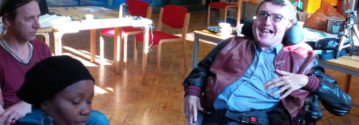
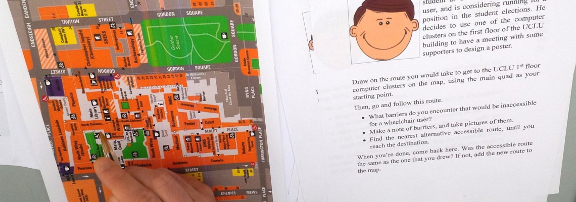
Mapping for Change are responsible for the London pilot site. Our work involves engaging with community and end user groups, identifying major accessibility issues, collaborating with relevant secondary stakeholder groups, and organising awareness raising activities.
We will also be working with disabled and older people to test online and mobile applications developed in the project, to ensure that the project’s technical outputs are user-friendly and beneficial to the groups who will be using them.
My Transport Stories
A lack of accessible public transport is a major barrier to many people’s independent mobility. From the groups MfC have engaged, the vast majority reported a range of problems including poor physical access to vehicles, a lack of staff awareness, and negative attitudinal experiences from transport staff and fellow passengers.
To address this, and provide a platform for people to report these issues, we developed a Transport Stories Community Map. You can use the map to report any kind of accessibility issue faced when using public transport, anywhere in the UK. We will share your feedback with the relevant transport providers.
As part of the project, a number of tools aiming at improving accessibility for people with reduced mobility have been developed. All of these are freely available and can be accessed on the MyAccesible.EU Tools page.
Related Projects
Planting Healthy Air in Schools
Mapping for Change is working with pupils and teachers to monitor nitrogen dioxide levels around each school using citizen science. Together, we have installed diffusion tubes at 10 locations around the school which will be changed over by the EcoClub every month for 12 months.
Science in the City
Science in the City is a project that is being carried out with residents in the Barbican and Mansell Street, in the City of London. Residents are using low-tech tools to measure Nitrogen Dioxide and particulates.


