Air pollution is estimated to cause over 4,000 premature deaths in London every year. The severe reality of air pollution is generally much worse than most of us are aware. Citizen Science initiatives are one ways to take action in your local area.
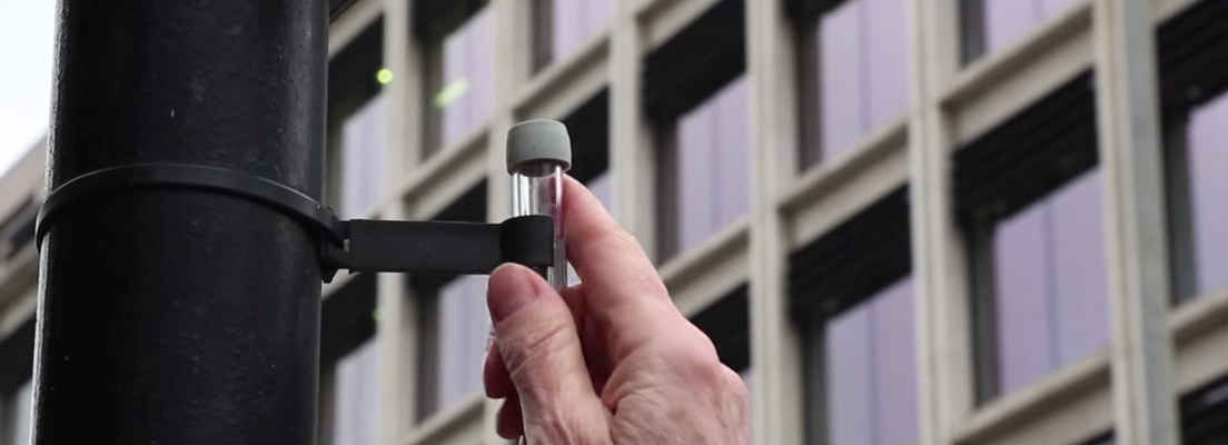
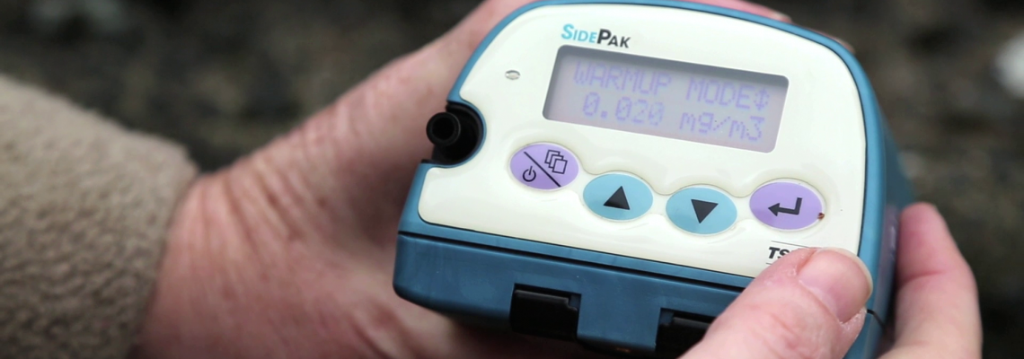
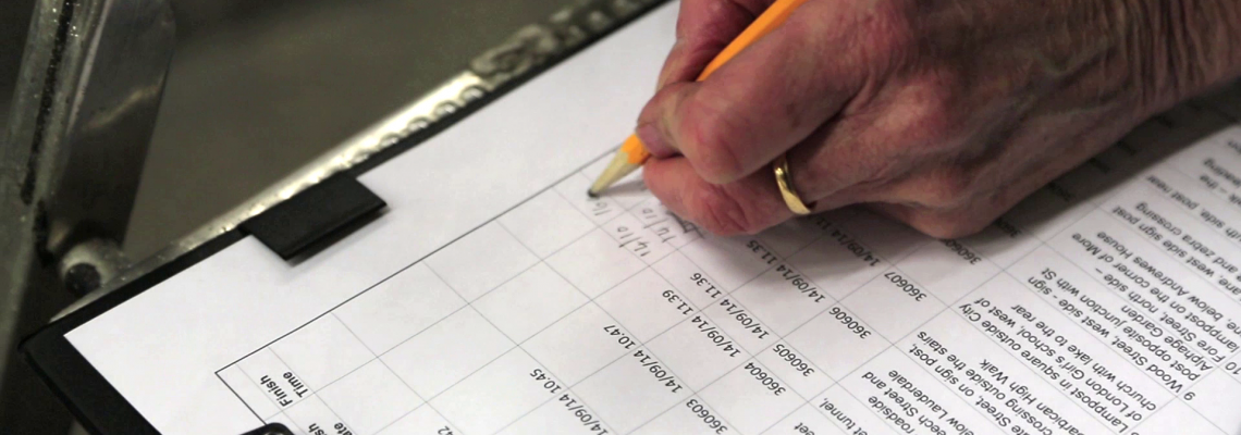
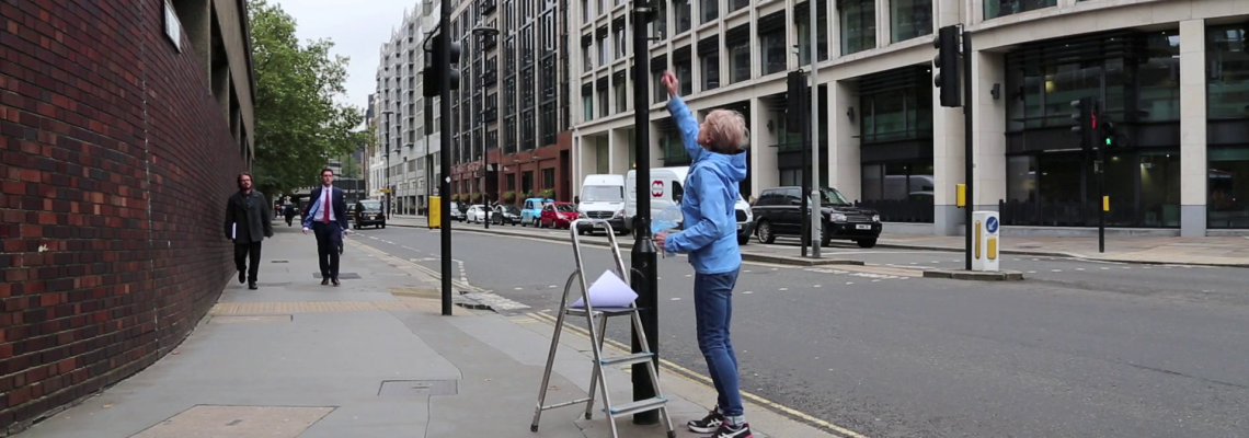
Science in the City is a project that is being carried out with residents in the Barbican and Mansell Street, in the City of London. Residents are using low-tech tools to measure Nitrogen Dioxide and particulates.
Our Role
Commissioned by the City of London, Mapping for Change are providing support and training to enable communities to measure and map air quality. We are also responsible for data analysis and visualisation.
By collecting this data locally, communities have been able to raise awareness and develop strategies and solutions for mediating the negative impact of air pollution.
Community groups made the decision to digitise the data on our Community Maps platform. You can see the findings here.
Dust Storm Mapping – April 2014
A dust cloud caused massive spikes in air pollution during April 2014. Use of hand-held particulate monitors captured the results.
Documentary: Barbican Air Quality Monitoring: A Beacon of Hope for Citizen Science
When this project was advertised around the estate, I thought, ‘that’s something I can get involved with that doesn’t take up a lot of my time’. It’s one of those things where, if you get lots of people doing a little bit, it adds up to something that’s big, and important.” Maggie Urry – Barbican Resident
See the documentary
Read the final report
Related Projects
How to Spend a Million? Northfleet Big Local Trust
In 2012, the Big Lottery Fund in England invested £1 million in 150 neighbourhoods for its Big Local initiative. Northfleet, Kent, was one of the first 50 to be selected. The grant aimed to equip local communities with skills and tools to identify key areas and issues where action was reqiored in their area.
COMENSI - Bridging the gap between adults and civic engagement
An EU project which aims to understand the lack of participation amongst adults, in formal consultations within deprived neighbourhoods. The project aims to understand the reasons for such lack for participation and which tools and strategies could be developed to change it.
Citizen Science Used to Map Community Air Quality
In 2009, Mapping for Change supported communities across London to measure and map local air quality. Use of a ‘citizen science’ approach meant local residents in seven locations were able to collect data, then see the real results of their monitoring activities, and subsequently embark on a campaign to see the serious results addressed.


