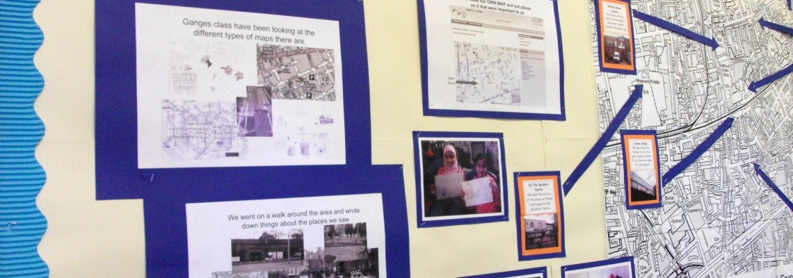
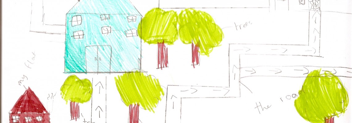
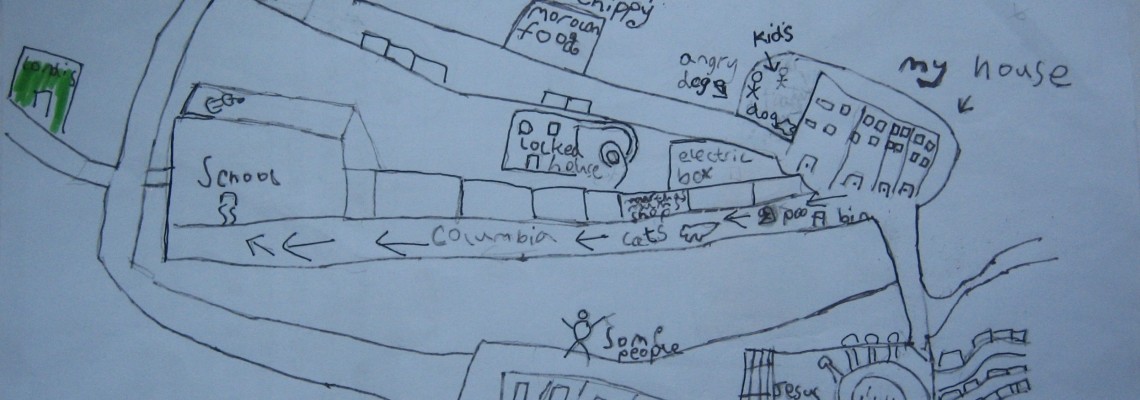
Mapping for Change in collaboration with the Humanities Education Centre (HEC) and local specialist on learning and ‘place’ Maggie Hewitt, worked with three schools in Tower Hamlets (Columbia School Community Map, Arnhem Wharf School Community Map and John Scurr School Community Map) to pilot a brand new process in which Year 4 pupils develop personalised maps of their local area with their own likes, memories and views on change.
Our Role
The mapping process included learning how to navigate online systems like Google earth and Google maps, which helped to develop a ‘child-centred view’ of the area. Children were encouraged to reflect on their experiences of place, supporting geographical content, exploration and sharing around identity and enhancement of self-esteem and confidence.
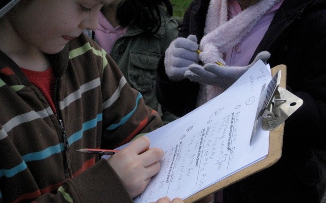
Maps were used as grids and stories. Students were firstly taken around their school’s neighbourhood, where they had the chance to observe the environment and make notes about several themes (green spaces, memories, questions, answers, things liked, disliked and wished). These were classified according to ‘my world ’and ‘ on my way to school diaries’. The students’ ideas across different ‘layers’ were first written onto large paper maps using post-it notes.
Impact
After the notes, drawings and photos had been organised, students had the chance to share their own perception with others. The whole activity was important for several reasons: pupils had the change to explore and take ownership of their local environment, share their views and findings, and work together to seek solutions. According to a teacher at the Columbia school: “They are beginning to understand that they are entitled to an opinion about their environment and that their ideas are valid.”
Related Projects
Urbex - Engaging Young People Through Urban Exploration
This is a project which used urban exploration as an innovative way to engage young people at risk of social exclusion and encourage their participation in civic issues. Each partner organisation worked in a specific pilot neighbourhood to test and deliver different approaches and applications of urban exploration.
How to Spend a Million? Northfleet Big Local Trust
In 2012, the Big Lottery Fund in England invested £1 million in 150 neighbourhoods for its Big Local initiative. Northfleet, Kent, was one of the first 50 to be selected. The grant aimed to equip local communities with skills and tools to identify key areas and issues where action was reqiored in their area.
COMENSI - Bridging the gap between adults and civic engagement
An EU project which aims to understand the lack of participation amongst adults, in formal consultations within deprived neighbourhoods. The project aims to understand the reasons for such lack for participation and which tools and strategies could be developed to change it.


