When facing place-based environmental, social and cultural issues, including the challenges of decarbonising transport, maps are an effective tool. They can help us collect information about an area, bring issues to the table, build a shared local vision, and act as a tool of communication with decision makers.
Mapping the Route to Sustainability
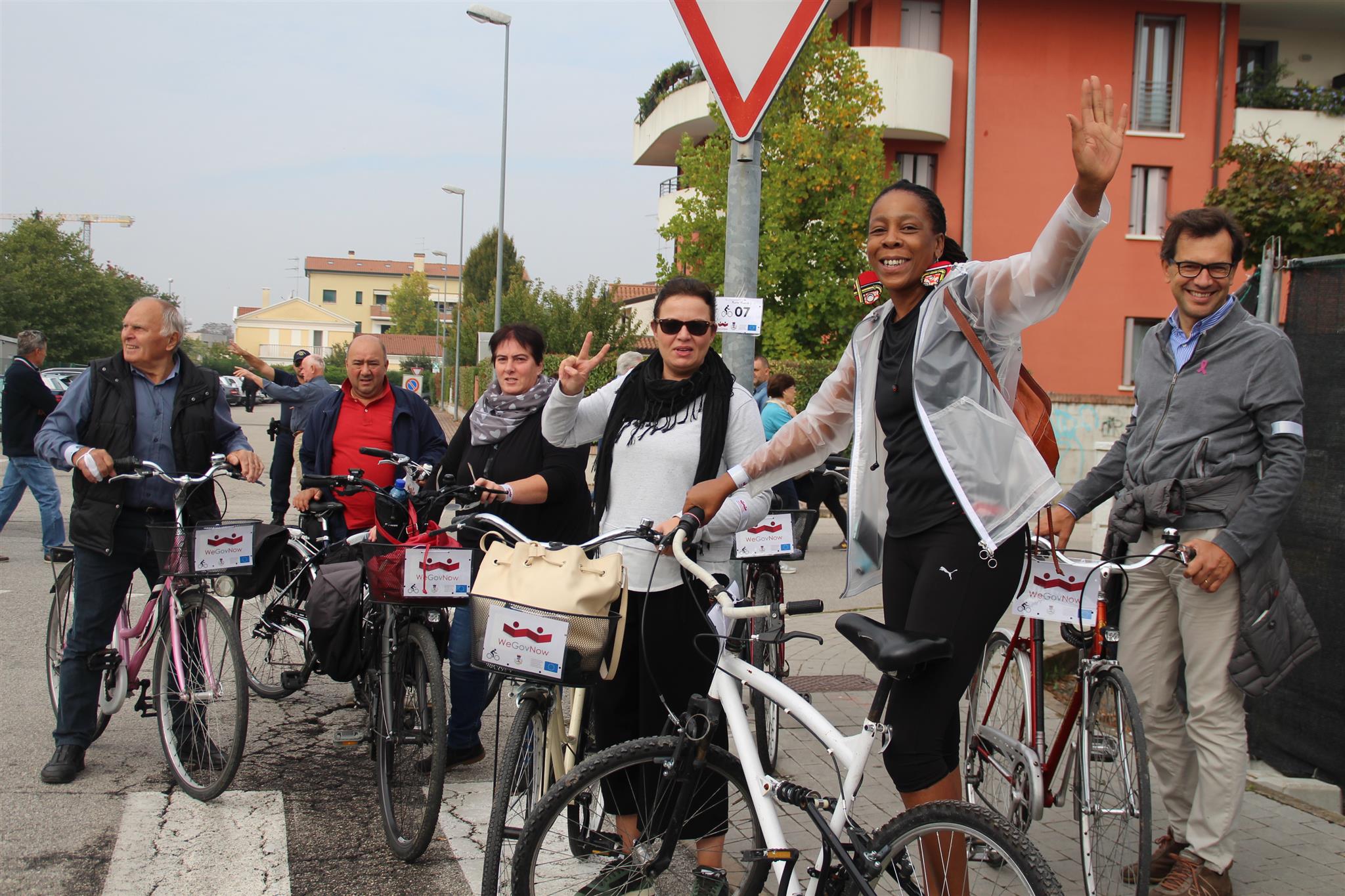
Participatory mapping exercises can be used to engage and empower communities on sustainable transport development and modal shift, putting communities in the driving seat of change. Cross-disciplinary research points to the need for place-based, locally-led approaches working with local identities. These themes will be discussed during the DecarboN8 International Conference and our experience, alongside learnings from recent workshops with Community Rail Network members are very relevant in this context. The interactive workshops with Community Rail Network members explored how participatory mapping can enable inclusive visioning, collaboration and action towards more sustainable transport use at the local level.
Active Travel in Bingley
We are working in partnership with four local councils in Bingley, West Yorkshire, and Sustrans on a year-long project to raise awareness of local sustainable travel. Using a combination of pop-up events, online workshops and a bespoke Community Map, the project will engage residents and visitors to the villages to understand the barriers and motivations for choosing public and active travel options. The findings will be used to increase local awareness, positivity and enthusiasm towards healthier and greener ways of travel such as walking, cycling, public transport and community transport and offer insights to improve future infrastructure development.
Danish Cyclists Federation
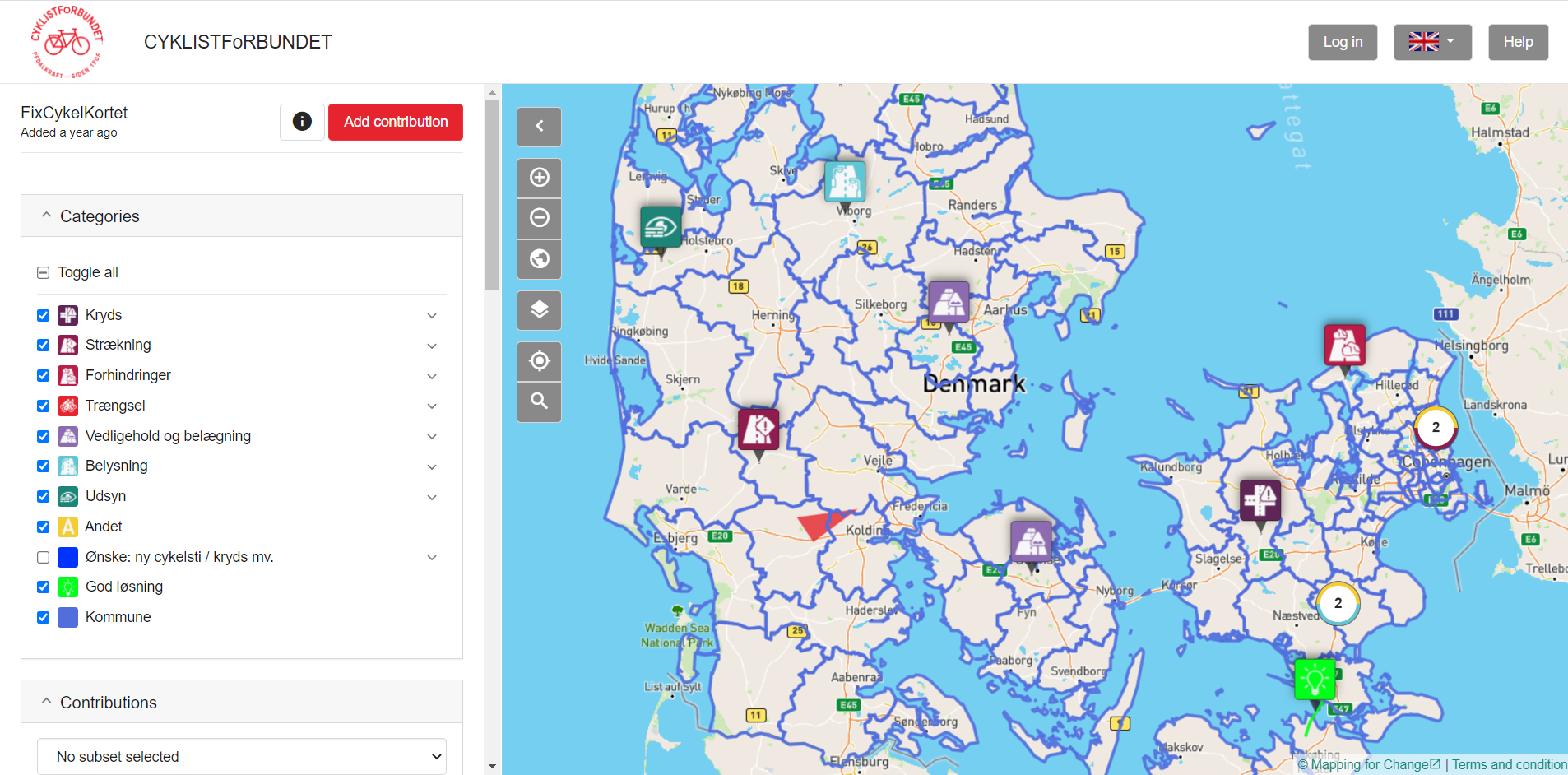
Our Community Maps platform has recently been translated into Danish for use by the The Danish Cyclists’ Federation. Their remit is to ensure that everyone can cycle safely and securely, making the bicycle the obvious and safe choice in everyday life. Covering the whole of Denmark, the map has been developed to aid the municipalities identify areas that hinder cyclists experience and may warrant infrastructural improvement.