Hackney Wick is a community situated on the boundary of the 2012 Olympic Park within the London Borough of Hackney. Hackney Wick is just one of the many communities facing considerable change as a result of major development and regeneration plans. Developments to the Olympic site resulted in the loss of facilities used by local residents, such as the local playing field and allotments. There was continued mixed sentiment about the development and the legacy which they were to inherit.
East London and Thames Gateway face, and are facing big changes in the coming years. If people from local communities are going to have an influence on these change. They need to know what is planned, how it might affect them and feel confident about making their voices heard.
People often feel excluded and alienated from the changes that are going on, which leads to a situation where many people and groups simply don’t get involved. That’s a problem for everyone. It leads to developments that don’t meet local needs and don’t benefit from local knowledge. The project seeks to make getting involved a little easier and a lot more effective.
Our Role
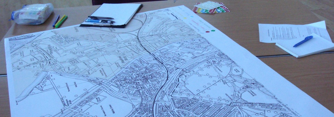
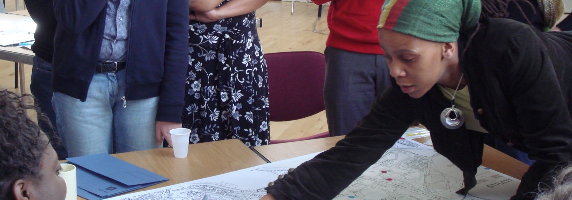
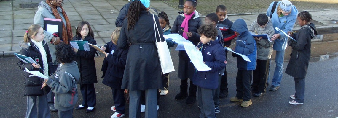
Mapping for Change ran a series of workshops, focused group meetings and field days to work with the community and develop an on-line community map. Attendees included schools, senior citizens, local organisations and other residents.
Impact
The community were able to use the map as a tool for communication with the various stakeholders involved in development and regeneration programmes, local service providers and the community as a whole. The map enabled all community members to be informed, have their say and get involved.
One of the issues highlighted by local residents was the vast amount of change the developments would have on the area, and the fact that local history is being lost. We have worked with residents to begin mapping elements of local history that have influenced both the physical and social structure within the community over the past fifty years. To date over one hundred places have been captured ranging from Achilles Serre, the first dry cleaners in Britain to the pre-WWII landfill site. This resource will serve as an archive for the community that will capture past and future changes.
“It was lovely to be able to talk about and share our past memories of how Hackney Wick used to be when we were youngsters”.
See YouTube footage of some of the residents who participated in the project.
Our work within the community will provide local residents with a tool to promote local activity and encourage participation.
The community were able to use the information as a tool for negotiation within the 2012 legacy framework in a bid to ensure focal elements were not forgotten, but instead were integrated into new developments.
Related Projects
CIVACT - Promoting civic engagement among youth through district development
CIVACT is a EU-funded, two-year project which aims to address the lack of civic engagement among hard-to-reach youths in urban areas. The goal is to understand how can we empower young people to become the driving force for change through observing and analysing their neighbourhood’s resources and challenges.
Kampala NOSES; Network for Odour Sensing Empowerment and Sustainability.
Kampala NOSES is a pilot project that seeks to introduce novel ways with which to monitor and record odour issues across Kampala. All key stakeholders, from policy-makers to public sector administrators, from academics to industries and the community at large are needed to create a longer-term vision of implementing new environmental reporting and governance mechanisms.


