Mapping for Change has supported many communities across London to measure and map local air quality. Use of a ‘citizen science’ approach has meant local residents in over 30 locations have been able to collect data, then see the real results of their monitoring activities. Subsequently, a number of communities have embarked on campaigns to see that their serious results are addressed.
Our Role
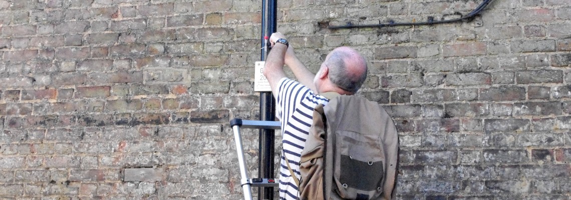
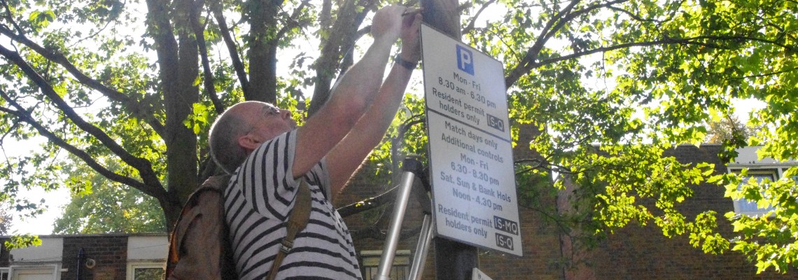
The citizen science approach offered by Mapping for Change provides communities with a way to measure air quality using low-technical methods, which means all sectors of the community feel able to participate. Nitrogen dioxide (NO2) was selected as the focus primarily because of the affordability of the monitoring equipment. In each location, a series of diffusion tubes are set out across the area to measure NO2 levels. After a period of four weeks the diffusion tubes are collected and analysed, and the results mapped in each location.
Impact
Where this was carried out in Putney and Highbury the data indicated that levels along the main road networks were up to 75% above EU limits for the period. They also highlighted several residential back-roads used as ‘rat runs’. During the same period, another five locations across London were monitored; each comprised one of London’s Greenways (safe, quiet routes through parks, green spaces and lightly trafficked streets) with an adjacent busy road. The results showed significantly higher NO2 levels on the roads compared with the Greenways, despite their close proximity.
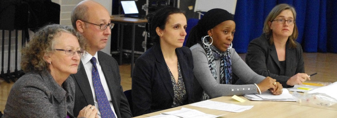
Results were fed back to the communities in well-attended meetings. The first was held in Highbury and was attended by over forty local residents, the Green Party London Mayoral candidate, the Local Authority and Clean Air London Director, Simon Birkett. GLA member Jenny Jones described the results as “terrifying”, but claimed the turnout had brought her hope as it demonstrated the issue was important for local people. A Public Protection Officer from the Local Authority who attended the meeting expressed her support for the study and highlighted the difficulties they have had in engaging the public in this discourse. She welcomed any move to raise awareness at the local level.
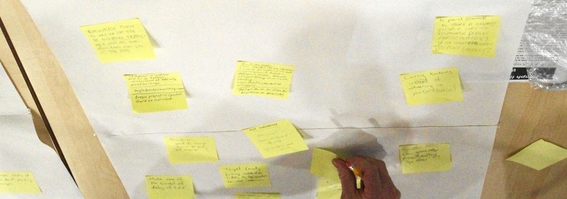
They came up with a list of measures which they and others in the community could adopt to reduce exposure to, and production of, harmful emissions. They also listed a number of suggestions to be put forward to the Mayor and Local Authority.
In Putney, these results motivated TfL’s decision to use hybrid buses on the high street.
You can view the results of these citizen science activities on our online interactive Community Mapping platform. We have also developed a toolkit that will enable communities across the UK to engage in air quality monitoring activities.
Related Projects
Breathe Clean - Citizen Science in Tower Hamlets
Breathe Clean will be providing Tower Hamlets residents with the materials & training needed to monitor nitrogen dioxide levels around the places that matter to them. Participants will measure the air quality at a number of locations over a period of six months, to get a more granular picture of the situation in the borough. The data from the Breathe Clean project will be made available on Mapping for Change’s community maps webpage.
Leicester Family Hubs
We are excited to help introduce this transformative approach to health and social care to the city of Leicester. Family Hubs will serve as a bridge that bring together various organisations, services, and resources, making it easier for families to access the care and support they need.


