
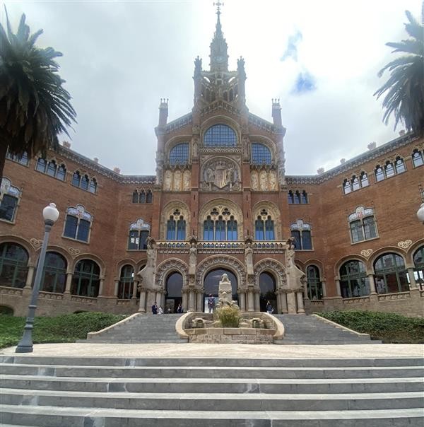
On 3 November 2025, we had the privilege of attending the Cities in Action conference in Barcelona, hosted by the UP2030 Horizon Europe project. This event brought together cities, tool providers, and experts committed to driving socio-technical transitions toward climate neutrality.
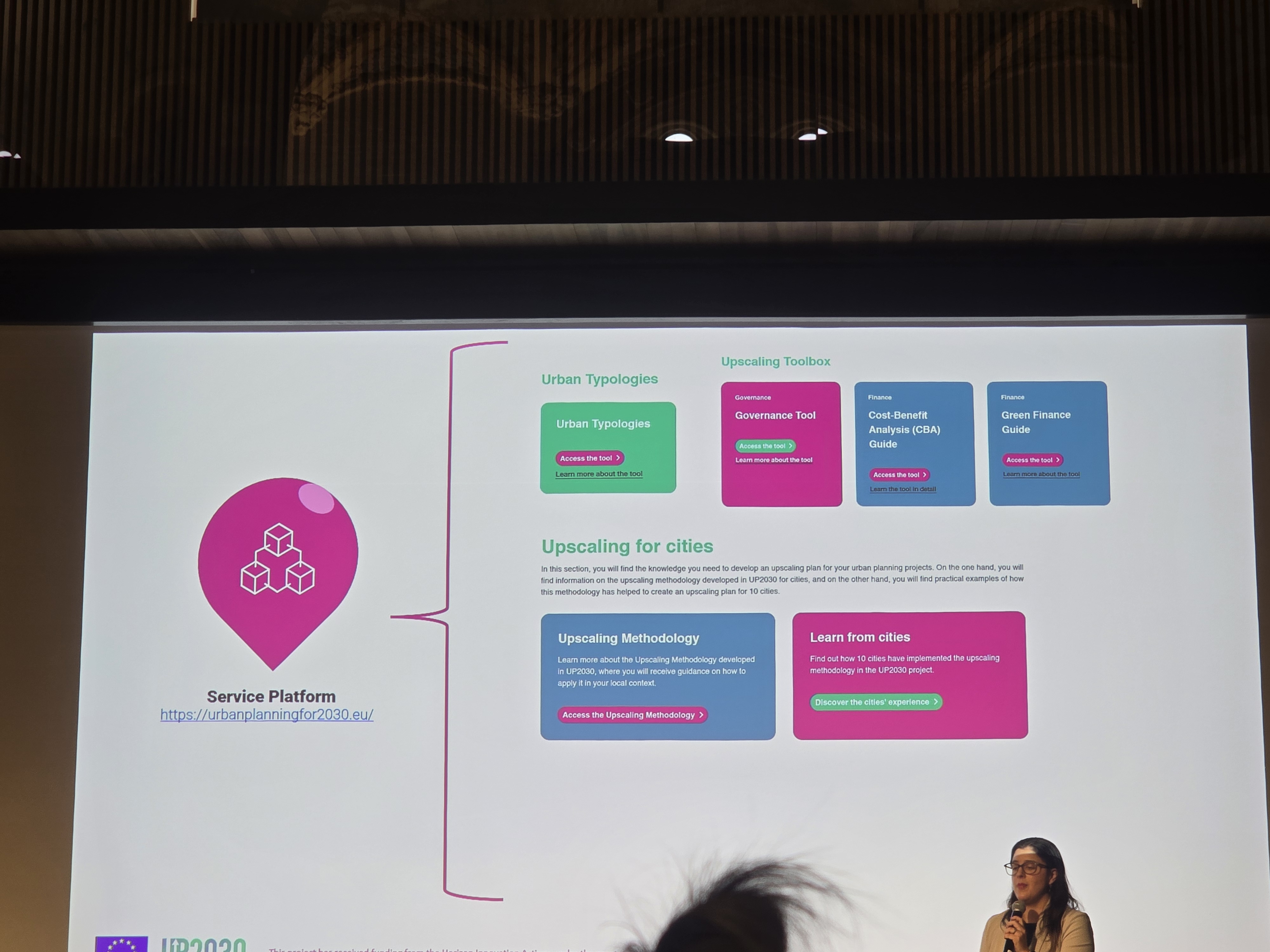
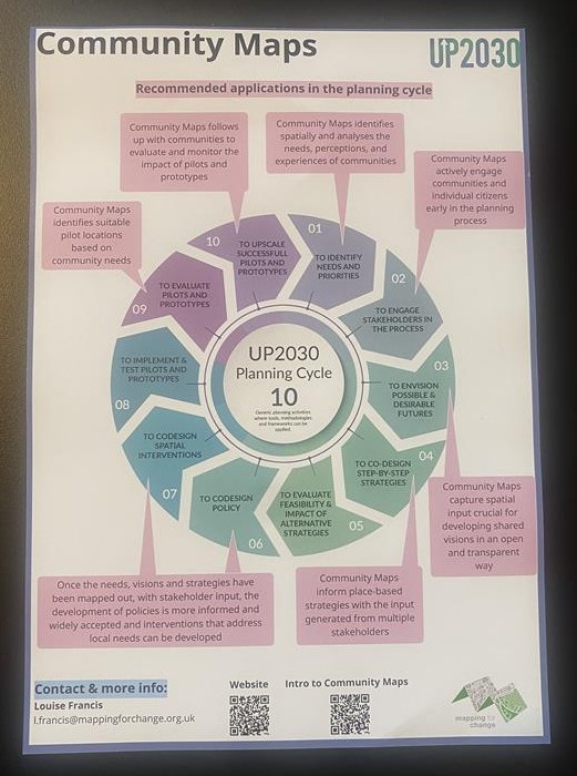
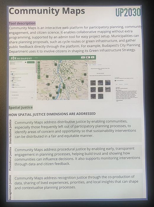
For Mapping for Change, it was a milestone moment. After three years of collaboration within UP2030, we finally saw our tool, Community Maps, showcased in an interactive workshop alongside seven other innovative solutions. Seeing these tools in action – and the people behind them – was a true celebration of collective effort and progress.
The conference reinforced the critical role of inclusive engagement in achieving climate neutrality. From participatory planning to co-creation, the message was clear: cities cannot meet net zero targets without active involvement from communities and stakeholders.
A thought-provoking plenary explored the persistent gap between climate planning and real-world implementation in urban governance. Speakers shared candid insights into why bold visions often stall and how innovative procurement and governance models can help overcome these barriers.
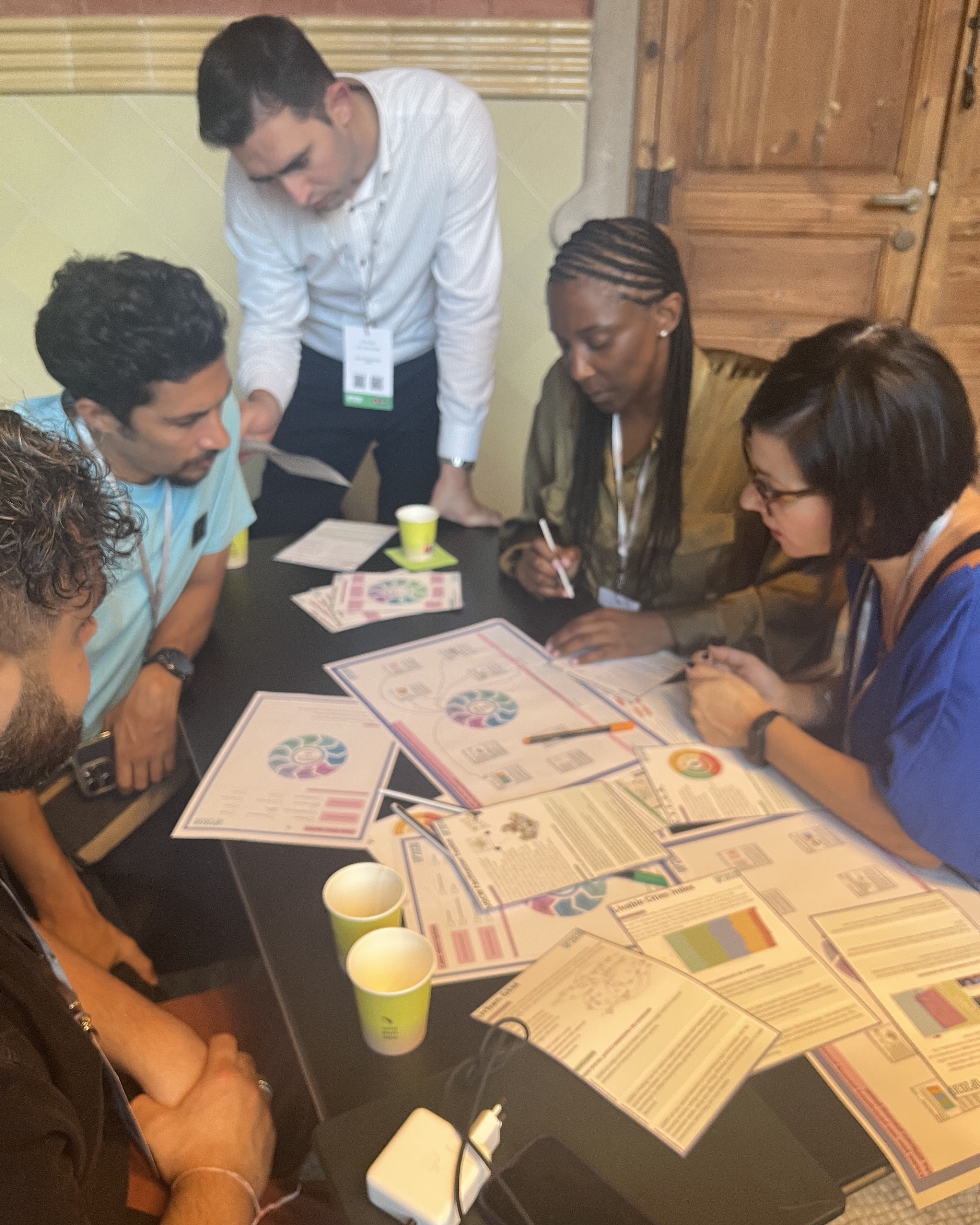
Far from a “sit-and-listen” format, sessions were short, engaging, and designed to spark dialogue. Workshops ranged from digital tools for decarbonization to spatial justice frameworks, ensuring participants left with actionable ideas.
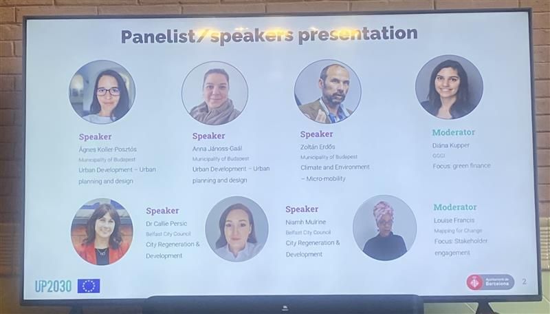
A real highlight was co-facilitating and moderating the session “The Tale of Two Cities: Participation and Engagement Tools for Urban Planning”, where we heard from Belfast and Budapest, two cities we’ve worked closely with – liaison partner for Belfast and tool provider for Budapest. The discussion showcased how Community Maps, alongside other tools, supported participatory urban planning. It was inspiring to see tangible changes and strengthened relationships with these cities.
While it’s bittersweet that this chapter has closed, the connections and knowledge shared will continue to shape our work. We look forward to crossing paths with partners again and building on the successes celebrated in Barcelona.
Thank you to UP2030 and all participants for an unforgettable event. Together, we’re paving the way for fair, resilient, and climate-neutral cities.
Maps
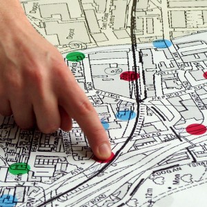
Maps can show you where you are. But a good map can also show you where you want to go, and how to get there.
With a map, you can communicate, analyse and enact change. We work with communities to achieve social and environmental change in their local area.
Citizen Science
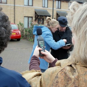
Environmental problems affect us all. Citizen Science can give you a voice. Let’s collect the data we need to raise awareness and fight for change.
Low tech and affordable methods mean that everyone within a community can get involved and become a citizen scientist.
Community Engagement
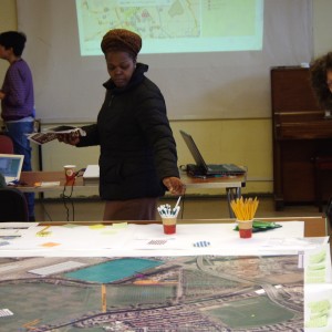
Does your organisation work with community groups? We can design and implement a unique engagement approach, tailored to your particular requirements.
With over 15 years experience in the community and voluntary sector, we understand how to reach and involve people.
Map Visualisation & Analysis
Space is complicated. Map visualisation & analysis can help you to understand and discover what’s going on.
We have expertise in the use of Geographical Information Systems, and we can apply it to meet your needs.
Online Mapping Platforms
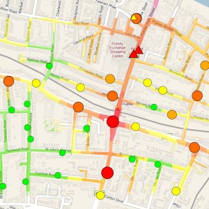
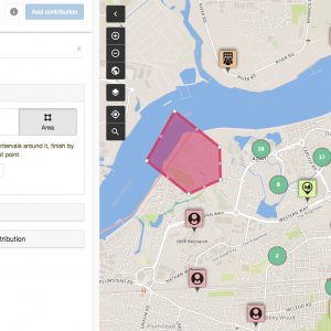
It’s good to collaborate. Contribute, share and discuss your ideas about the places that matter with Community Maps, our online participatory mapping platform.
Community Maps provides an effective tool for community and multi-stakeholder consultation across a range of projects and sectors.