Local actions to tackle climate change are taking place across the UK. These comprise of many different forms, and include local energy projects, campaigning groups and work on behaviour change. As well as organisations that are directly focused on climate there are many more that have other concerns as well but are still active.
The challenge arising from this is to get a real feel for just how much is actually happening. This is important information for civil society itself but also for councils, government, funders and other agencies.
Our role
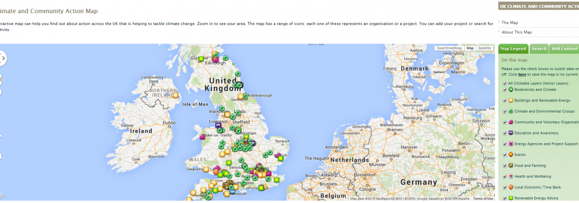
Mapping for Change produced a Climate and Community Action Map, to inform people about initiatives happening in their local area. As there are thousands of organisations and projects that could be displayed, there is no one organisation that has a comprehensive list so any mapping will need to rely on local people’s knowledge and readiness to add their work to the map.
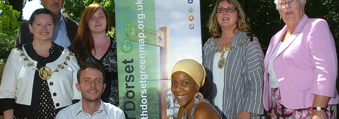
The UK Climate & Community Map started with three local projects, two of them ‘Climate Action Maps’, in Newcastle upon Tyne and north Dorset. These were funded by the Green Alliance think tank as part of their research into the scale and scope of local action. They were supplemented by a map of larger climate projects in London that then became absorbed into the UK map.
Impact
These pilots, developed with full local engagement, produced detailed local maps and also helped identify the key issues for the national map. 12 key themes were included, and each type of activity was given its own layer and icon. These included obvious ones such as ‘Buildings and Renewable Energy’ and ‘Climate and Environmental Groups’ but also events, advice and support projects, and information on food, health and well-being and green economic activity.
The UK map was launched with about 200 points on it at the national ‘Climate and Community Action’ conference in January 2011. Many groups have added themselves to the map since then and over 500 are now displayed. It is promoted by the Low Carbon Communities Network.
Related Projects
Eco21.PL
Funded under the Swiss Block Grant, Mapping for Change in collaboration with the Centre for Training and Personal Development MERITUM, the Cultural Authority City of Gardens and Highways 4 Elements carried out a two year training programme in the Silesia region of Poland.
Science in the City
Science in the City is a project that is being carried out with residents in the Barbican and Mansell Street, in the City of London. Residents are using low-tech tools to measure Nitrogen Dioxide and particulates.
Citizen Science Used to Map Community Air Quality
In 2009, Mapping for Change supported communities across London to measure and map local air quality. Use of a ‘citizen science’ approach meant local residents in seven locations were able to collect data, then see the real results of their monitoring activities, and subsequently embark on a campaign to see the serious results addressed.

