In the UK, there are growing concerns regarding the health and wellbeing of our ageing population. Problems of loneliness and isolation are widely documented, and stem from a range of social, economic and environmental factors. Further research is crucial to understanding how these problems can be alleviated in the future.
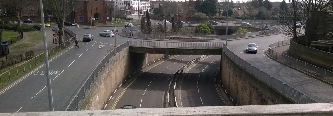
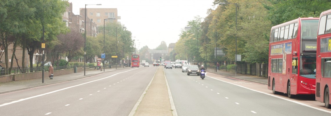
Design for Wellbeing is a multidisciplinary research project funded by the Economic and Social Research Council. The project aims to investigate ‘community severance’; the concept that major transport infrastructure, such as busy roads, can negatively influence elderly people’s physical and psychological wellbeing, by segregating their community and restricting their mobility.
The project will explore this concept in four case study areas; Finchley Road (London), Woodberry Down (London), Southend-on-Sea, and Stratford Road (Birmingham). All sites are characterised by the presence of major main roads.
Our Role
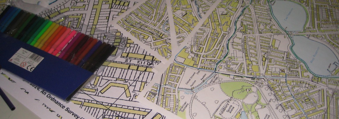
Mapping for Change are responsible for the engagement of communities in each site. We have used our expertise in engagement to ensure the perspective of harder-to-reach elderly people has been included. Inclusive participatory mapping techniques have encouraged elderly residents to document their experiences of the local area, and maps have enabled us to carefully analyse residents’ perceptions of community severance.
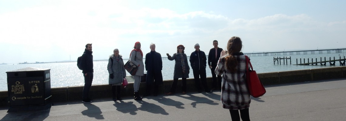
We have carried out this engagement through a range of desk research and direct engagement. In each site, Mapping for Change have pursued a variety of qualitative research approaches including structured and semi-structured interviews, street surveys, and workshops.
You can download a final version of the Street Mobility Project Toolkit here. Get PDF.
Related Projects
CIVACT - Promoting civic engagement among youth through district development
CIVACT is a EU-funded, two-year project which aims to address the lack of civic engagement among hard-to-reach youths in urban areas. The goal is to understand how can we empower young people to become the driving force for change through observing and analysing their neighbourhood’s resources and challenges.
Hackney Wick Community Map
Hackney Wick is a community situated on the boundary of the 2012 Olympic Park within the London Borough of Hackney. Hackney Wick is just one of the many communities facing considerable change as a result of major development and regeneration plans. Developments to the Olympic site resulted in the loss of facilities used by local residents, such as the local playing field and allotments. There was continued mixed sentiment about the development and the legacy which they were to inherit.


