In 2012, the Big Lottery Fund in England invested £1 million in 150 neighbourhoods for its Big Local initiative. Northfleet, Kent, was one of the first 50 to be selected. The grant aimed to equip local communities with skills and tools to identify key areas and issues where action was required in their area.
Our role
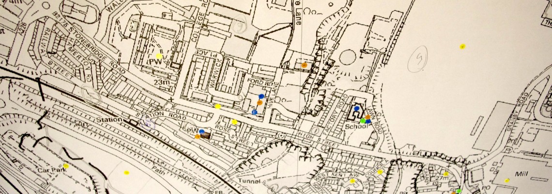
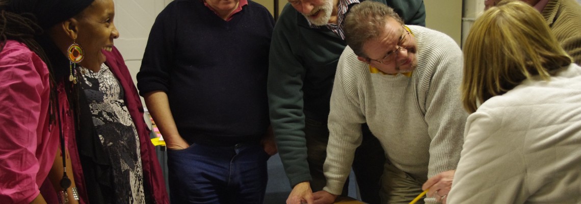
Mapping for Change used paper maps to identify all the good things that already exist in Northfleet, such as groups, clubs, societies, businesses, schools and leisure facilities. This process also enabled people to visualise places that needed to be improved using the Big Local fund. Next, MfC developed an online interactive map for community members to continue contributing their perceptions and ideas. MfC also provided a training workshop to enable volunteers to maintain and use the online map themselves.
Impact
Northfleet community mapping is an on-going process, and the online community map will continue to evolve over time to reflect changes under-way in the area. People can keep sharing their views to it and engage with other members of the Northfleet neighbourhood.
Related Projects
Kampala NOSES; Network for Odour Sensing Empowerment and Sustainability.
Kampala NOSES is a pilot project that seeks to introduce novel ways with which to monitor and record odour issues across Kampala. All key stakeholders, from policy-makers to public sector administrators, from academics to industries and the community at large are needed to create a longer-term vision of implementing new environmental reporting and governance mechanisms.
COMENSI - Bridging the gap between adults and civic engagement
An EU project which aims to understand the lack of participation amongst adults, in formal consultations within deprived neighbourhoods. The project aims to understand the reasons for such lack for participation and which tools and strategies could be developed to change it.

