Living with the Seven Sisters Road
On 16th July 2014 Louise posted in Featured

Word Cloud from Woodberry Down Perception Mapping
Community mapping from the first pilot for the Street Mobility Project has provided interesting insights into how the people of Woodberry Down have adapted to the presence of a major busy road cutting through their estate. They told us how communities and movement networks evolved round connected neighbourhoods on different sides of the road, most often made up of the friends and neighbours in their housing block.
There was a real community – We all knew each other, our children grew up together and you knew who your neighbours were, we all looked out for each other and the children. We never really went over Seven Sisters Road, there was no real need to.
Woodberry Down resident (80)
Street Mobility Mapping Project
On 27th May 2014 Louise posted in Featured, News
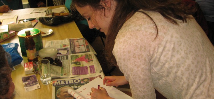
Throughout March to June 2014 we have been working in the Woodberry Down area of north London, preparing the way for the first in a series of four community mapping projects exploring how busy roads impact on the daily lives of residents. The Woodberry Down Estate is dissected by the busy Seven Sisters Road, and the area is being transformed by a substantial private – public regeneration scheme that will include new blocks of privately and social housing units.
Social Workers and Participatory Mapping
On 23rd January 2013 Louise posted in Featured, News, Training
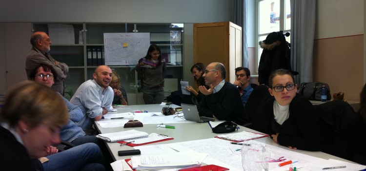
In September of last year Louise Francis, Director of MfC, went out to Udine to deliver a seminar and training session to students from the University of Udine, visiting students from the University of Oulu and employees of Vicin di Casa, a local not-for-profit organisation whose aim is to promote and facilitate access to housing by migrants. Students who attended came from courses on social work, and technology and education.